
Salt River River Canyon

Coming into the Salt River Canyon from the south
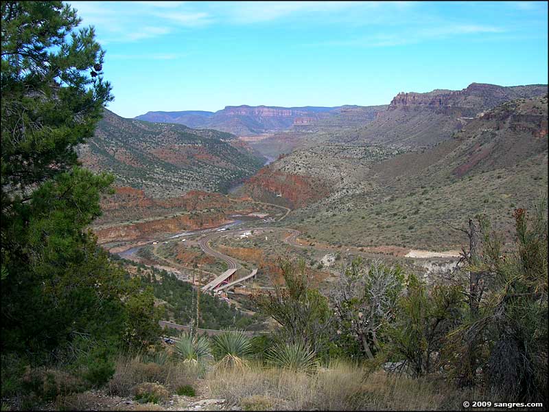
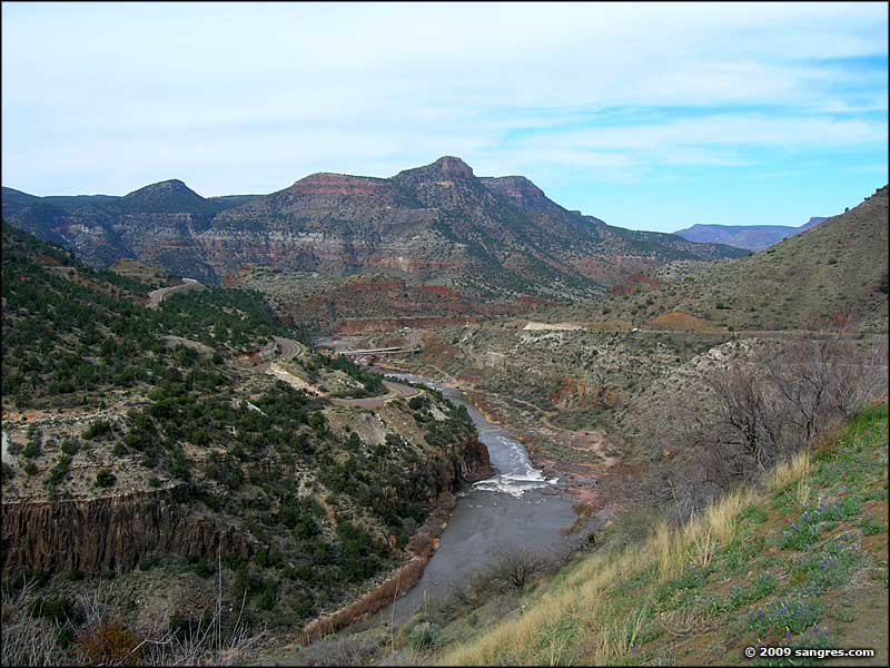
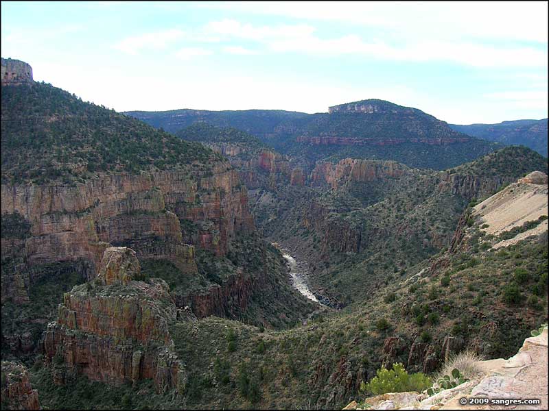
Returning to Colorado from Phoenix one day, I drove up the US 60 between Globe and Show Low. There was some pretty spectacular countryside but the Salt River Canyon crossing is where the views really opened up. I hadn't traveled this route since I was a little boy, and the memories that came back... The works of man in this canyon have changed in that almost-50 years, but not much else. The Salt River Canyon is touted as "Arizona's other canyon," and with good reason. This is still maybe 30 miles upstream from the Salt River Canyon Wilderness. In the area around the bridge over the river is where most whitewater rafting companies put into the river for their trips through the wilderness - I think this may be the nearest place upstream of the wilderness where they can actually get down to the river. Rafting season here is from March to May, then the river gets too low.
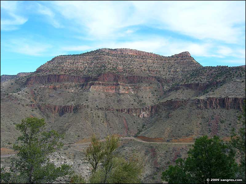
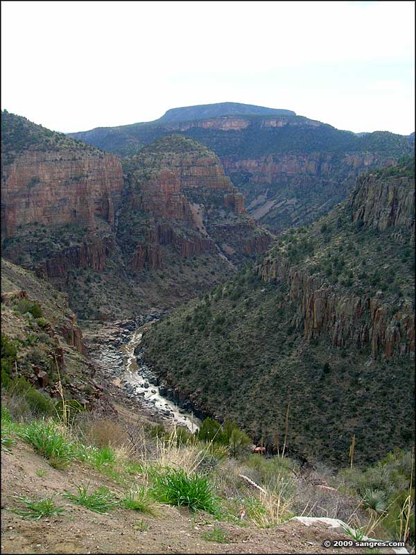
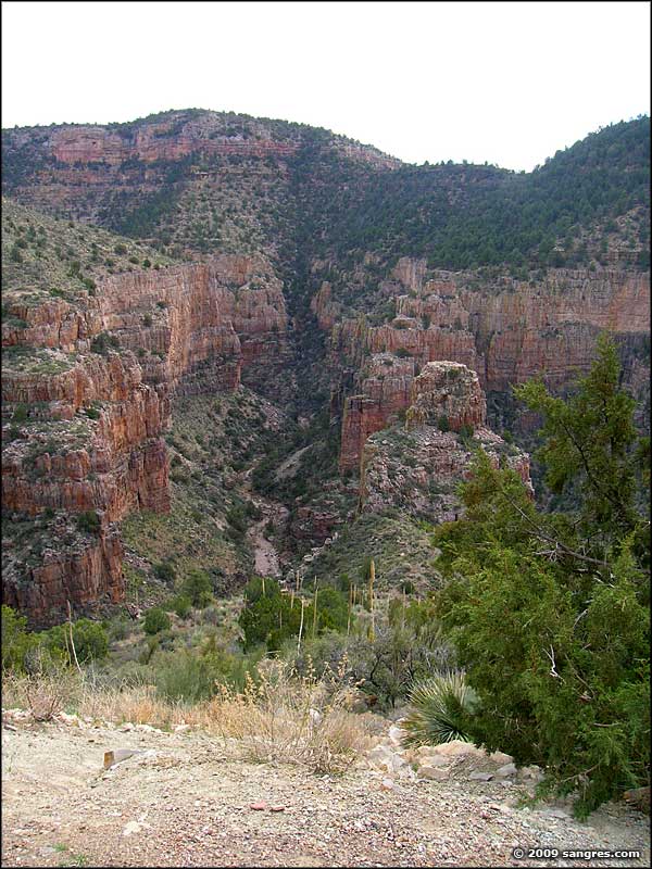
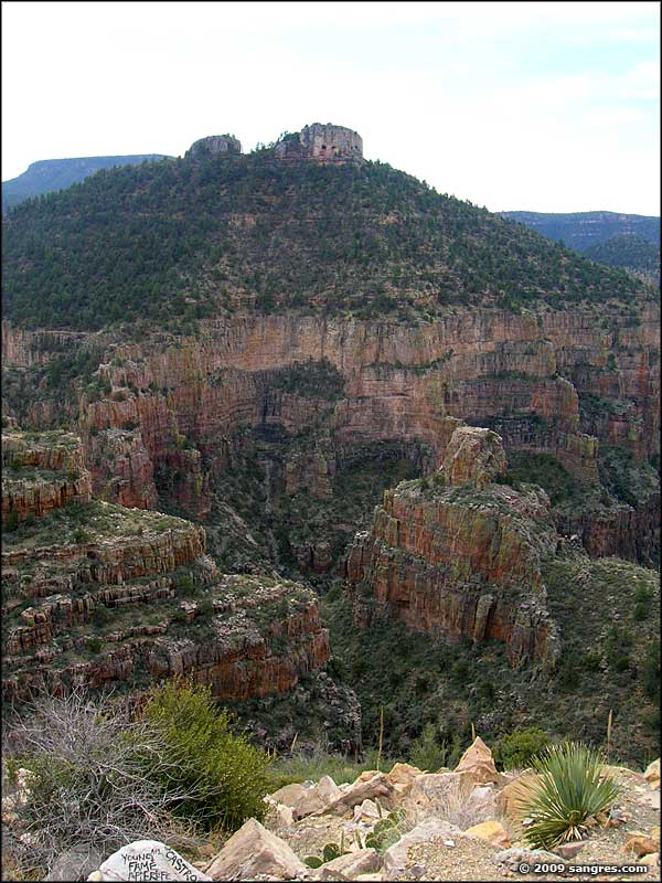
The four photos at the bottom were all taken from a turnout just below the northern rim of the canyon.
To return, use the Back button in your browser.
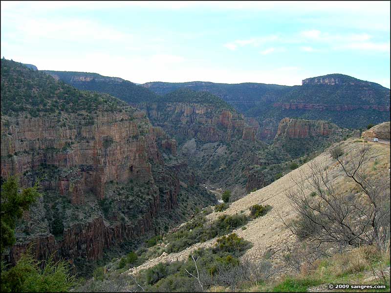
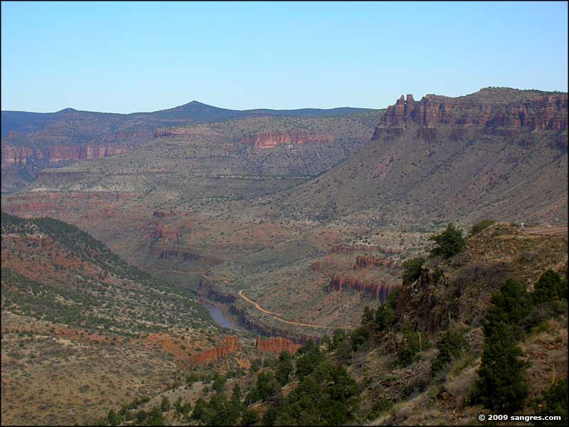 The canyon below opens up |
 A look into the bottom of the canyon |
 A view across the river/canyon |
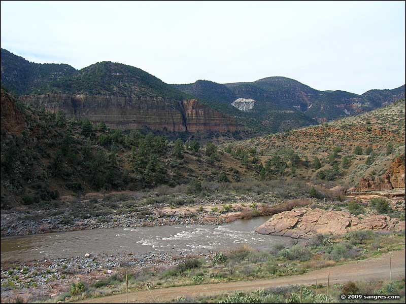
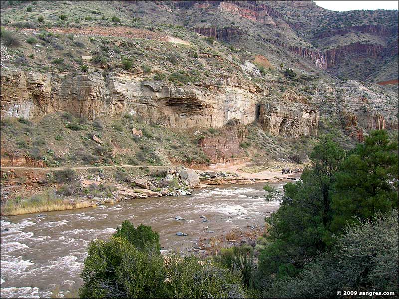 The Salt River itself |
 I just came down from there |
 A view from the north side |
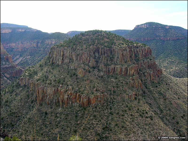 A palisades pyramid |
 The view to the south |
 Looking south from the canyon rim |
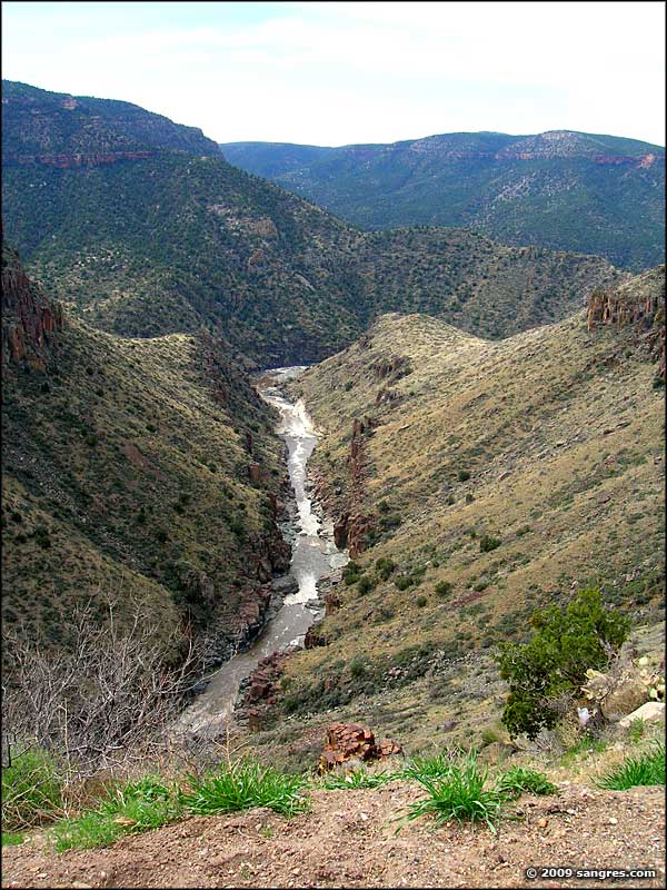 The Salt River |
 The view to the east |
 The view to the northeast |
 Palisades and Pillars |
