Grand Wash Cliffs Wilderness

Grand Wash Cliffs Wilderness
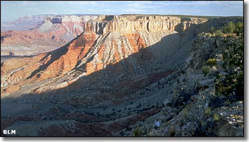
The 37,030 acres of the Grand Wash Cliffs Wilderness are in extreme northwestern Arizona. This wilderness is in the geological transition zone between the Basin and Range Province and the Colorado Plateau. Once upon a time, these cliffs were cut by the Colorado River, but the Colorado now flows some 20 miles to the south in the Grand Canyon. The top of the cliffs is at the rim of the Shivwits Plateau. The Plateau drops about 1,000' to a shelf that varies from 1 to 3 miles wide and about 12 miles long. At the edge of that shelf, the cliffs drop another 2,000' down onto the plain of the Mohave Desert. There are several canyons cut deeply into those 12-mile walls of cliff that allow for some tough scrambles to the top of the shelf and then to the top of the Shivwits. Along the way you'll pass from Mohave Desert shrubs into the pinon and juniper vegetation zone. You might also come across desert bighorn sheep, desert tortoises, Gila monsters, and rattlesnakes.
There are no maintained trails in the Grand Wash Cliffs Wilderness but there are roads that lead into the northern end of the property where the hiking is a bit easier. On the other hand, the more difficult the countryside, the fewer the people... and the Grand Wash Cliffs Wilderness is in the heart of some very difficult countryside.
If you want to come here, the first thing you need to do is procure a copy of the Arizona Strip District Visitor Map. This map shows the roads and wilderness areas in great detail: don't leave "civilization" and come in here without it. Another thing: you might want 2 spare tires and plenty of extra food, water and gas: it doesn't get more remote than this. Access from the south is barred by the Grand Canyon and Lake Mead National Recreation Area.
USGS Maps: 7.5 minute: St. George Canyon, Olaf Knolls, Cane Springs SE, Grand Gulch Bench, Mustang Point, Last Chance Canyon

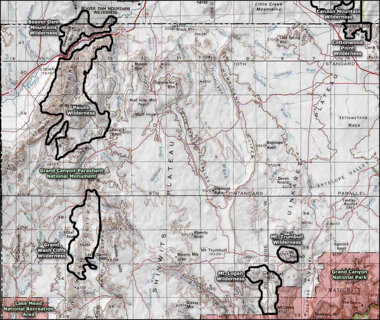
Grand Wash Cliffs Wilderness area map
