Sonoran Desert National Monument

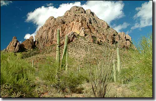
Typical chunk of rock on the Sonoran Desert National Monument

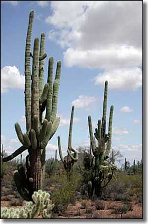
Among the more than 487,000 acres included in the Sonoran Desert National Monument are the acreages that comprise the North Maricopa Mountains Wilderness, the South Maricopa Mountains Wilderness and the Table Top Wilderness. The Booth Hills, White Hills, Maricopa Mountains, Table Top Mountains and the Sand Tank Mountains on the Sonoran Desert National Monument are separated by wide, flat, heavily vegetated valleys. One of the most striking elements in this landscape is the density of the saguaro cactus forest. Also scattered around this property are the remains of several historic trails and a number of significant archaeological and historic sites.
The Butterfield Overland Stage Route, the Juan Bautista de Anza National Historic Trail, the Gila Trail and the Mormon Battalion Trail all cross the Sonoran Desert National Monument in a particular "trail corridor" only a couple miles wide (in most places). Within that trail corridor there is a 4WD-accessible road that runs the 10-mile length of the crossing(s).
There are no fees involved, and the only area where permits are required is in the Sand Tank Mountains south of Interstate 8. All mechanized/motorized vehicles (including mountain bikes) must stay on existing roads and stay out of the designated wilderness areas. All cultural and natural resources (including plants, rocks and artifacts) are legally protected against collection, removal and damage.
Because summers here are so hot, most folks come to visit between October and April, and even then, you'll want to have lots of water on hand. There are universally accessible restrooms in some areas but there are no other developed visitor facilities (although there is an 88-mile road closure in effect for several years (began in 2008) while solutions for OHV problems are built and some camping facilities are developed). Cellular phones don't work in most of the countryside here. This area is also prone to flash flooding in rainy seasons.
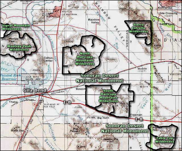
To get to the eastern side of the property: find your way to the town of Maricopa. From Maricopa go west on Arizona 238 for about 16 miles to the eastern boundary of the monument.
To get to the western side of the National Monument: Find your way to Gila Bend. Then go east on Arizona Road 238 for about 4 miles to the western boundary.
To get to the south side of the Sonoran Desert National Monument: you want to exit from Interstate 8 at exot 144: Vekol Road. Then go south on Vekol Road.

Sonoran Desert National Monument location map
