
Vermilion Cliffs National Monument

The Vermilion Cliffs
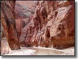
Vermilion Cliffs National Monument straddles the Arizona-Utah State line with US Highway 89 running around the northern edge of the property and US Highway 89A running around the southern edge. Contained on the 294,000-acre monument are Paria Plateau, Paria Canyon, Coyote Buttes and the Vermilion Cliffs (which ring the southern half of the monument). Elevations at Vermilion Cliffs National Monument vary from a low of 3,100' to a high of 6,500', most of which rise occurs at the Vermilion Cliffs themselves: once you get above that 3,000' multi-hued sandstone escarpment, the top of the plateau is pretty flat, although one thing you have to look out for if you try to travel cross-country on top of the Paria Plateau is the presence of "slot canyons."
One famous slot canyon in this area is Paria Canyon, with its tributary Buckskin Gulch, in the Paria Canyon-Vermilion Cliffs Wilderness. The only places on Vermilion Cliffs National Monument where permits are required is in the Paria Canyon and Coyote Buttes areas. One of the joys of hiking somewhere like Paria Canyon or Buckskin Gulch is the possibility of flash floods originating miles away and the water rushing through those narrow, sheer-walled canyons 20' and more deep.
There are no universally accessible facilities on the property. There are campgrounds at Stateline Campground and White House Campground (both accessible via US Highway 89, near Paria Canyon on the northern side of Vermilion Cliffs). There are restrooms at Stateline and White House Campgrounds, the Paria Contact Station and the trailheads for the Wire Pass, Lee's Ferry and White House Trails.
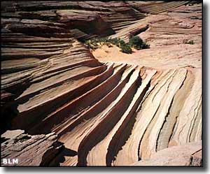
Geologically speaking, among the canyons of Vermilion Cliffs National Monument, you'll find seven different layers of sandstone, mudstone, siltstone, limestone and shale exposed, all in brilliant color.
This area has been inhabited for most of the last 12,000 years. Hiking among the canyons will bring you to many different Ancestral Puebloan ruins (there are hundreds of them on the property). You'll find rock art all over the place, too, some of which is among the oldest rock art in North America. The first European explorers in the area were with the Dominguez-Escalante Expedition in 1776. The next recorded group of explorers were Mormons in the 1860's, searching out new lands to settle. Some of them set up homesteads on land that is now within the monument. They also built one of the first ferry crossings on the Colorado River in 1871.
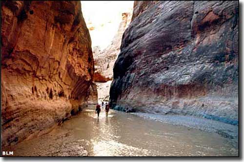
On the floor of Paria Canyon
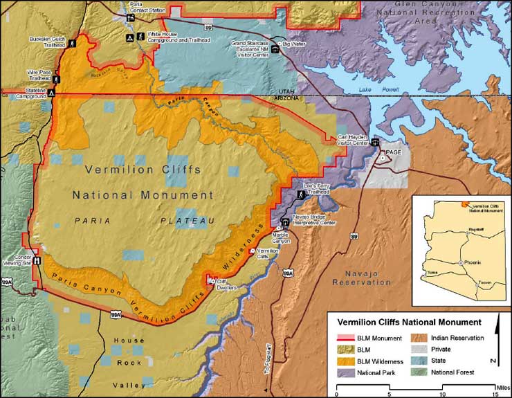
BLM map of Vermilion Cliffs National Monument
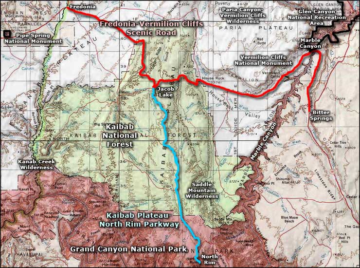
Vermilion Cliffs National Monument area map
