Black Hills Back Country Byway

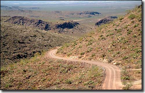
A typical view along the Black Hills Back Country Byway

The Black Hills Back Country Byway is a 21-mile long route around the north side of Guthrie Peak in southeastern Arizona. Both ends of the Byway are on US Highway 191 so you're never too far from "civilization," however, some sections of the road in bad weather may require 4WD. Be prepared to share the road, too, as this route is a favorite among hikers and experienced mountain bikers. The Black Hills Rockhound Area is just off the Byway and folks do a lot of digging here (legally) for gemstones like Fire Agate.
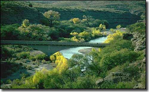
Where the Black Hills Back Country Byway crosses the Gila River, you're at the eastern edge of the Gila Box Riparian National Conservation Area. Near the bridge is an old dirt road leading upstream. If the river flow is low enough, about 1/4 mile up you'll find what is probably the hottest hot spring in Arizona (180°F). There is a 23-mile stretch of the Gila in this area that is also very popular among the rafting set (in season).
This is the north end of the Peloncillo Mountains: an area of low mountains, lava formations and desert shrubs and grasslands. The low points on the Byway are at either end, in the hotter areas full of creosote bush, diamondback rattlers and roadrunners. At the highest points along the road, you'll be up in the grasslands with a few evergreens scattered among the scattered shrubbery. There'll be a few mule deer and coyotes around and lots of quail, red-tailed hawks and migratory birds (in season). There are a couple of developed picnic areas along the route and campsites are usually available at the Owl Creek Campground.
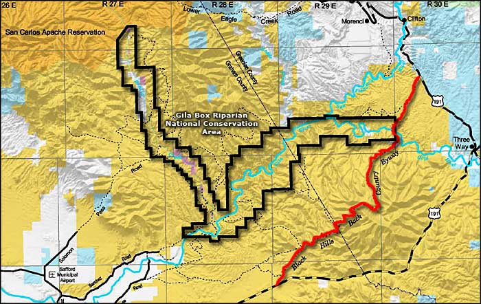
To get there: Black Hills Back Country Byway actually cuts off a wide loop of US 191. The northeastern end is just south of Clifton on US 191, and go southwest. The southwestern end is near milepost 139, and turn northeast. You'll probably see the signage for the Black Hills Rockhound Area.

The bridge over the Gila River at the edge of the Gila Box Riparian National Conservation Area

Black Hills Back Country Byway area map
