Red Rock Scenic Road

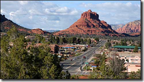
The Village of Oak Creek on the Red Rock Scenic Byway
The Red Rock Scenic Byway is a 20-or-so mile drive on Arizona Highway 179, heading south out of Sedona through the Village of Oak Creek to Interstate 17.
This is a journey through landscape that was first laid down maybe 200 million years ago when the whole of the Southwest was buried deep beneath desert sands. Since then, it has been ocean bottom and beach front several times until now, it is part of the canyon country at the southern edge of the Mogollon Rim/Colorado Plateau. The Colorado Plateau was lifted up as a single fault block about 60 million years ago and what we see today is what's left after all those years of erosion.
This is an area where residential subdivisions butt directly up against designated wilderness, where mountain biking/hiking/horseback riding trails angle off into the canyons everywhere and in all directions. A lot of the countryside that isn't built on is part of Coconino National Forest.
As the entire route is through the Red Rocks Country section of Coconino National Forest, you need to be aware that stopping anywhere for more than 15 minutes or so means you need to pay the $5 day-use fee (go to either the Chamber of Commerce office or the Forest Service office in Sedona, pay the $5 and get the permit, although if you are staying longer, they have sliding scale fees for longer duration permits). So you can take a few photos (hopefully without a problem) but if you'd like to get away from the pavement and all those folks on the road...

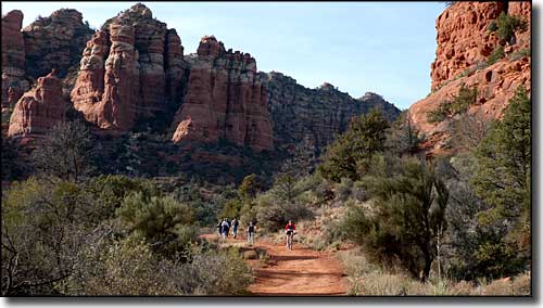
A typical trail/pathway in the Bell Rock area
From the photos on this page you can see that this is simply gorgeous, other-worldly countryside. Between Sedona and the Village of Oak Creek you'll be passing by Cathedral Rock and Bell Rock. Bell Rock is just inside the boundary of Munds Mountain Wilderness, a wild and woolly area of deep canyons and high mesas. There's trails all over the place - just bring lots of water, a good hat, sunglasses, a good camera, a good map and plenty of sunscreen.

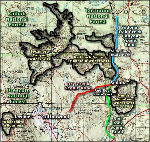
Red Rock Scenic Road area map
