Creede got its start in 1889 when Nicholas Creede, who was just passing through, stopped for lunch and discovered what became the Holy Moses Mine. This was just up the canyon of the East Fork of Willow Creek from where the East Fork and West Forks came together. Almost overnight his camp became a tent city. The town grew by 300 people a day in the summer of 1890.
The original Creede was "built" at the confluence of the East and West Forks of Willow Creek, right below what remains of the Humphrey Mill now. Going south down the narrow canyon from there was the area that became known as "Stringtown." The area below that where the narrow canyon emerged between those two imposing pillars of granite and widened into a narrow valley was first called "Jimtown." Jimtown is where the first large commercial establishments were built and over time, became known officially as "Creede."
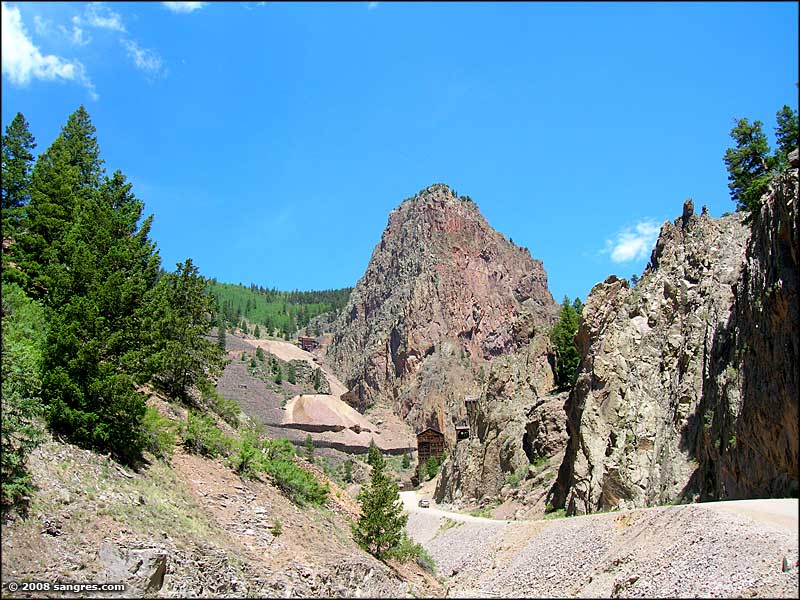
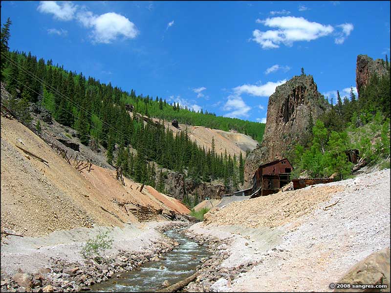
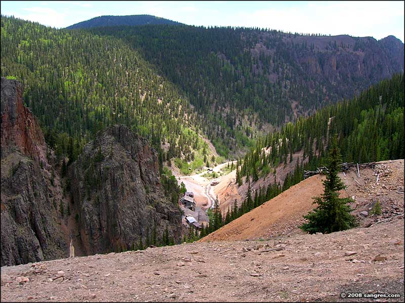
By 1892 there were more than 10,000 people living in the Creede area. Among them were quick-draw artist Calamity Jane Canary, Bob Ford (reputed side-kick and killer of Jesse James), con man Soapy Smith, lawman Bat Masterson (formerly Town Marshal of Trinidad, CO), and cigar-smoking cardshark Poker Alice. All these people flocked to Creede because of the discovery of the Amethyst Vein (running along West Willow Creek canyon), an average 4-to-10-foot-wide vein of ore that consistently delivered 200 ounces of silver per ton of rock. In places, the Amethyst Vein was up to 100' wide, and some boulders and outcroppings delivered up to 1,500 ounces of silver per ton. Several major mines were established along this miles-long vein of ore, and many, many others were dug into the hills all around here. Several small townsites were built in the bottom of the canyon (next to the mines) and Bachelor City, a town of up to 1,200 people was built above the canyon near the Bachelor and Last Chance Mines.
The Bachelor Loop was established along the major roads through this area that tied the biggest mines and settlements together. It's a narrow, steep drive through a large piece of Colorado's history. Virtually all of the Bachelor Loop runs through private land (the mine areas are all still privately owned) but there is some National Forest access in the upper parts. There is interpretive signage at several places along the Loop and there is an excellent brochure available at the Creede Visitor Center for $1.10. I travelled up the north loop through West Willow Creek canyon and returned on the south loop past Bachelor City and down into the southern end of Creede. I was warned against the road up through the East Willow Creek canyon because the road is steep, narrow, sees little maintenance and is heavy on the switchbacks near its northern end.
In 1892, Creede yielded a million dollars worth of silver ore a month. In 1893 Congress enacted the Silver Act and the price of silver dropped from $1.29 per ounce to fifty cents. Creede almost closed down but the townspeople pulled together and came through. In 1939, 500,000 ounces of silver were still shipping from the mines every week. By 1966, that number had dropped to 150,000 ounces per year. The last producing mine in the area was the Bulldog Mine, and that ceased production in 1985.

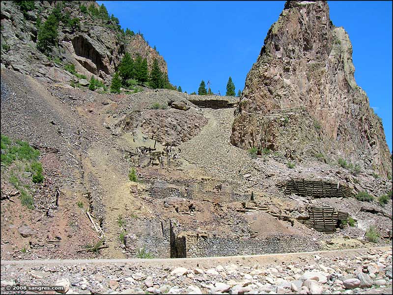
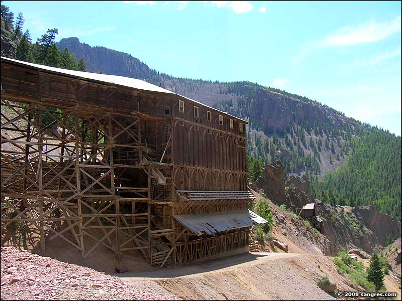
The old trestle for moving ore cars down the hill from the mines to the mill

Looking northwest up the valley of West Willow Creek toward the Equity Mine, top of the Bachelor Loop

Nelson Mountain, in the Rio Grande National Forest

What remains of the townsite of Bachelor City

Looking southeast down the Rio Grande Valley, Creede near the bottom

The original grave site of Bob Ford