
Colorado National Monument Photo Gallery

The Coke Ovens rock formations

I drove into Colorado National Monument through the west entrance, near Fruita. It was late afternoon on a gorgeous day. Rim Rock Drive is only 23 miles long but it took me several hours to reach the east entrance near Grand Junction. I kept stopping, taking photos, hiking around, talking to folks, being a tourist.
The Visitor Center had some great overlooks nearby with some nice displays inside. The image to the left is on one of the walls inside. I thought this image might help to explain what you are seeing in these photos. If you click on it you'll get a larger version of it (one that's actually readable). To return from that larger image, use the Back button of your browser.
Part of the fun with this is I took a lot of photos and then had to distill them down to what I'm showing here. And even with all the photos I took, I didn't get everything. I did take quite a few of the short hikes but there's some stuff in the backcountry that you can only see by going there. When I go back I'll have full gear with me and see if I can spend a couple days in the backcountry. I want to get into the McInnis Canyons National Conservation Area next time, too. The rock over there isn't just red, there's a lot of black rock and several arches, too. I also hopew that when I return there's noty so much haze (or humidity) in the air because I should be able to see 100 miles or more to the north, west and south. In these photos, you might just be able to make out the Book Cliffs (30 miles to the north) or Grand Mesa (30 miles to the east).
To return, use the Back button in your browser.
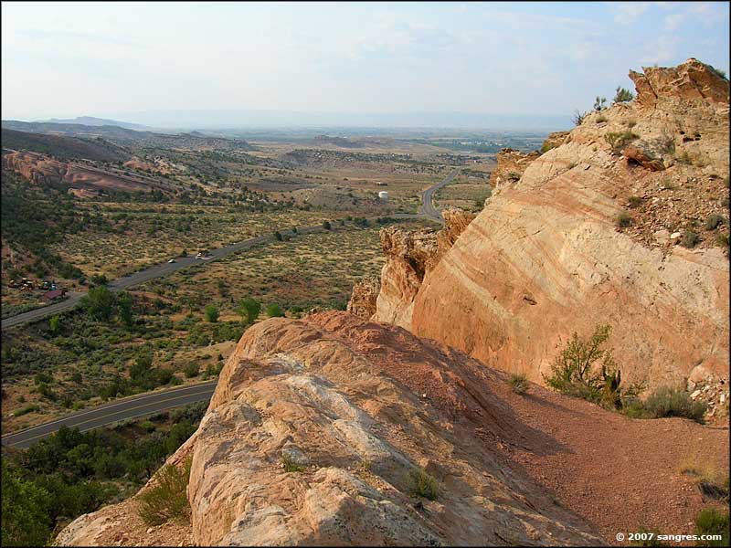 Overlooking the West Entrance |
 Fruita Canyon |
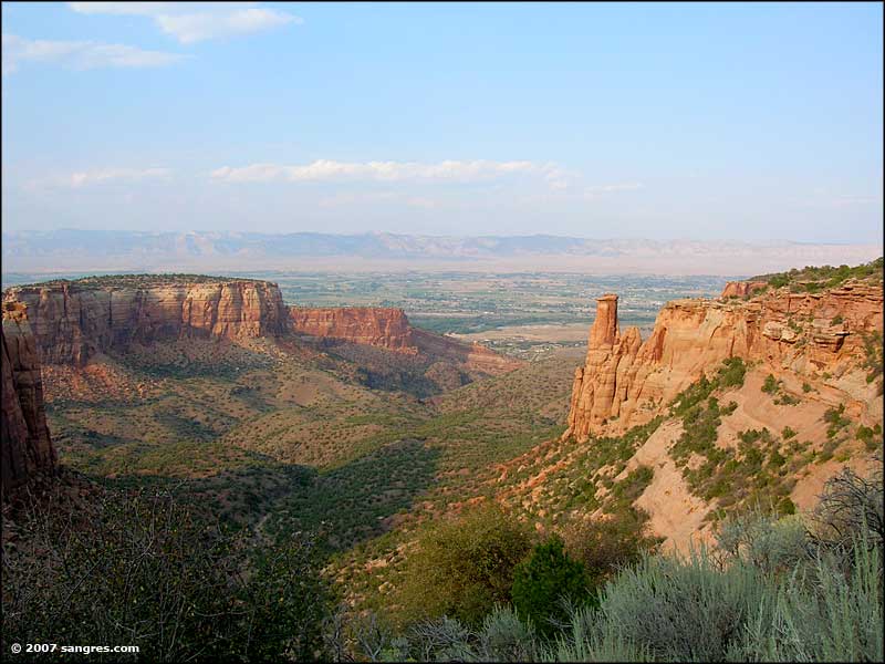
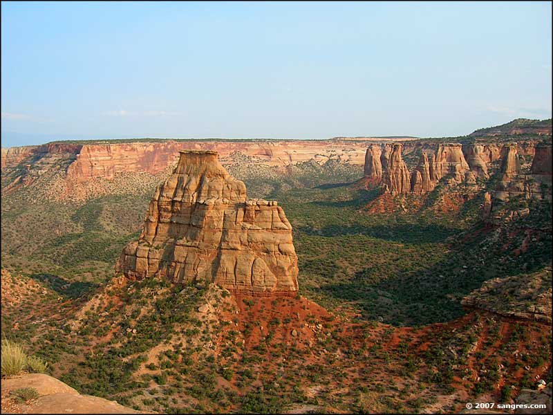 Independence Monument |
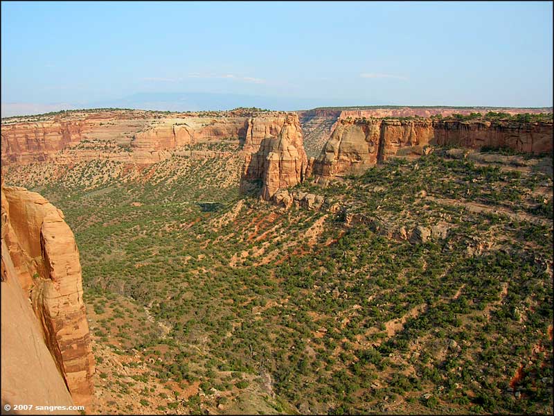
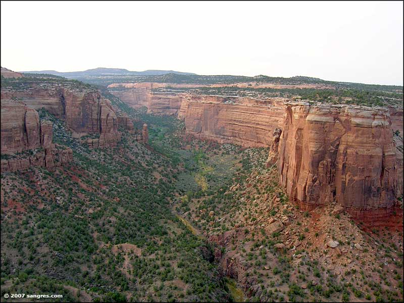
 From Otto's Overlook |
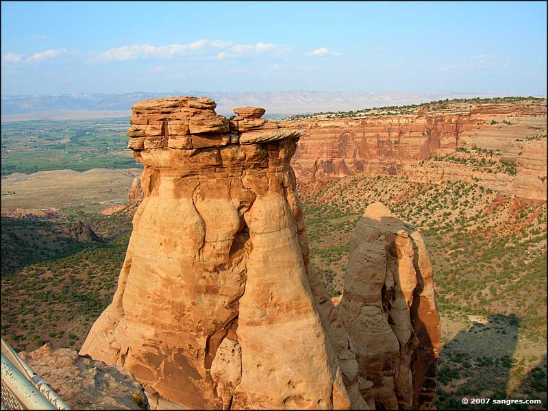
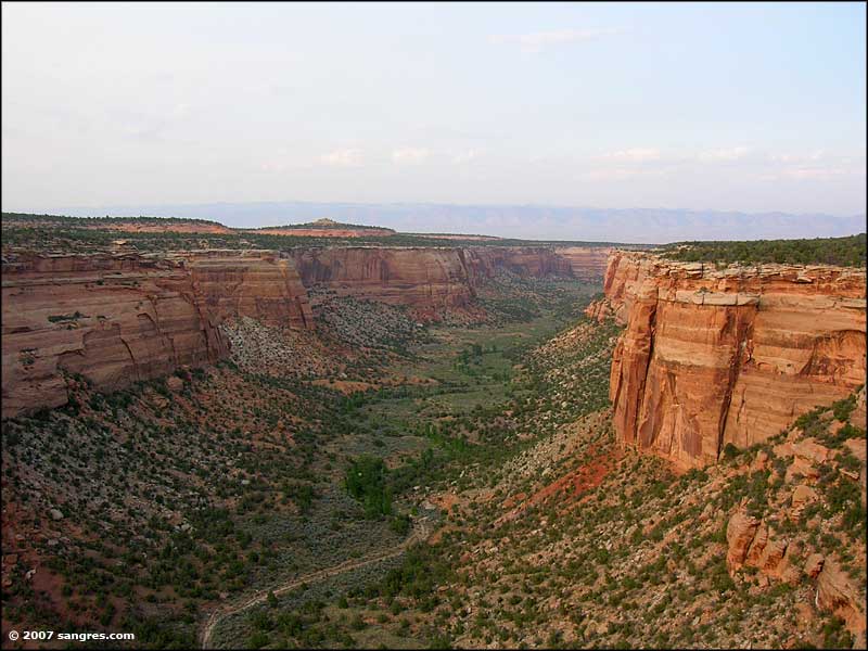
 Looking west from Grand View |
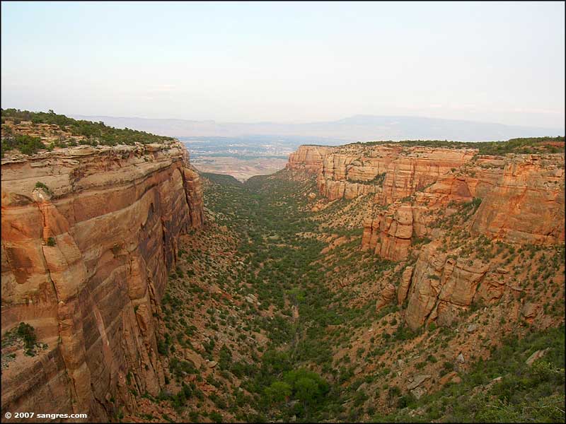
 Looking east from Grand View |
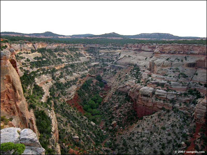
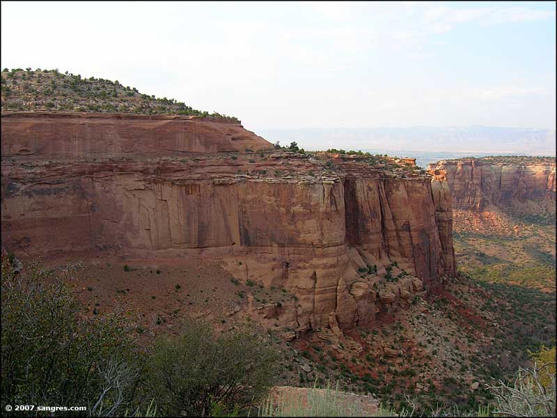 Canyon walls |
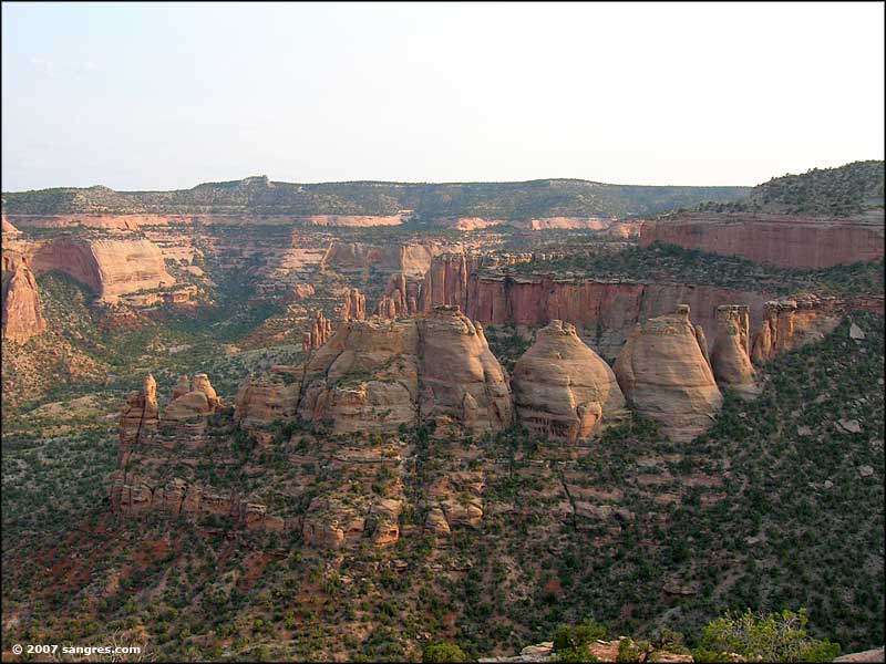 The Coke Ovens |
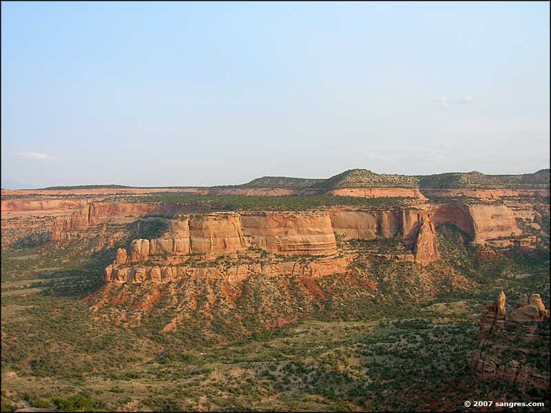 Looking at Artists Point |
 Ute Canyon |
 Ute Canyon |
 Ute Canyon |
 Red Canyon |
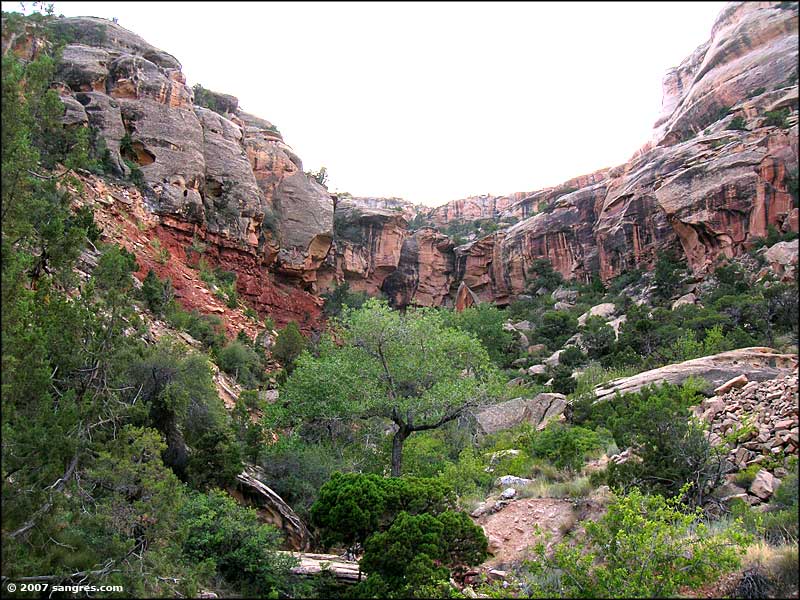
 Columbus Canyon |
 Looking up at Serpents Trailhead |
