
Grand Mesa Scenic Byway
Land's End Road to Cedaredge

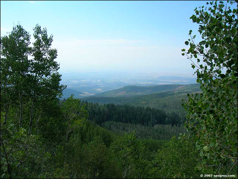
Heading back down the hill, south of Land's End Road
When I came back to the main road from my journey to Land's End, I took the right and headed on south. It wasn't too long and I came to the trailhead for the Crag Crest National Recreation Trail and then Island Lake. A couple more miles of slowly going down in elevation and I came to a beautiful lake next to the Grand Mesa Visitors Center. I stopped for a few, talked a bit with a couple guys fishing the lake and went into the Visitors Center. Then I continued on my way south through more gorgeous countryside until I came down out of the aspens and into the locusts and cedars just north of Cedaredge.

Early September, some aspens already in fall colors

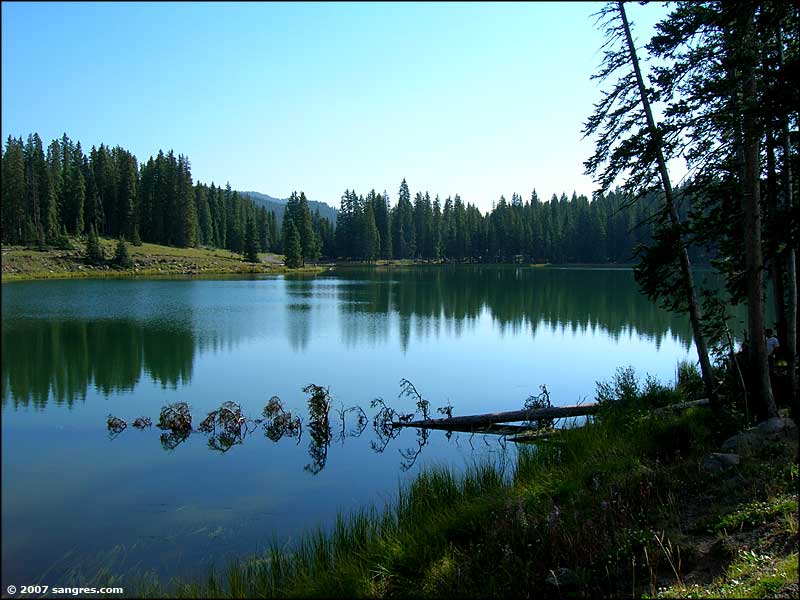
Island Lake

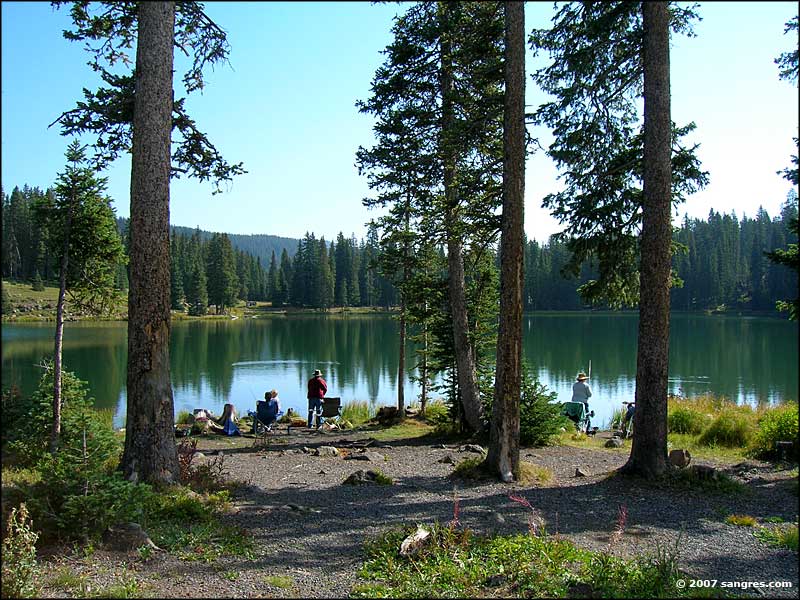
Another view of Island Lake

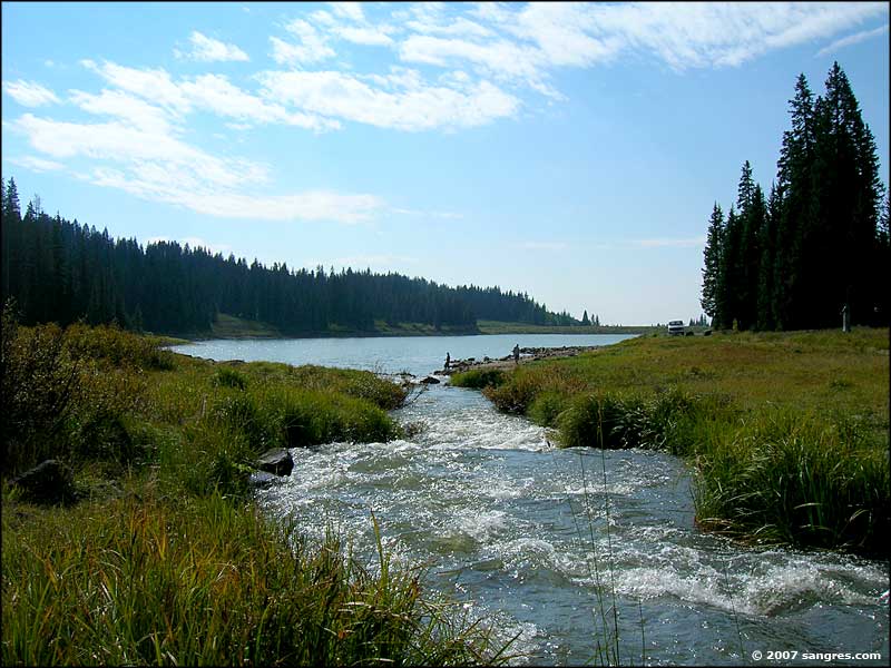
The Grand Mesa Visitor Center

A lone fly fisherman

Coming down off the southern slopes of Grand Mesa

Looking north from just north of Cedaredge
Clicking on one of the photos below will bring you a larger version of that photo (800x600)
To return, use the Back button of your browser
To return, use the Back button of your browser
 Island Lake |
 Island lake |
 Lake next to the Visitors Center |
 Scotland Peak Reservoir |
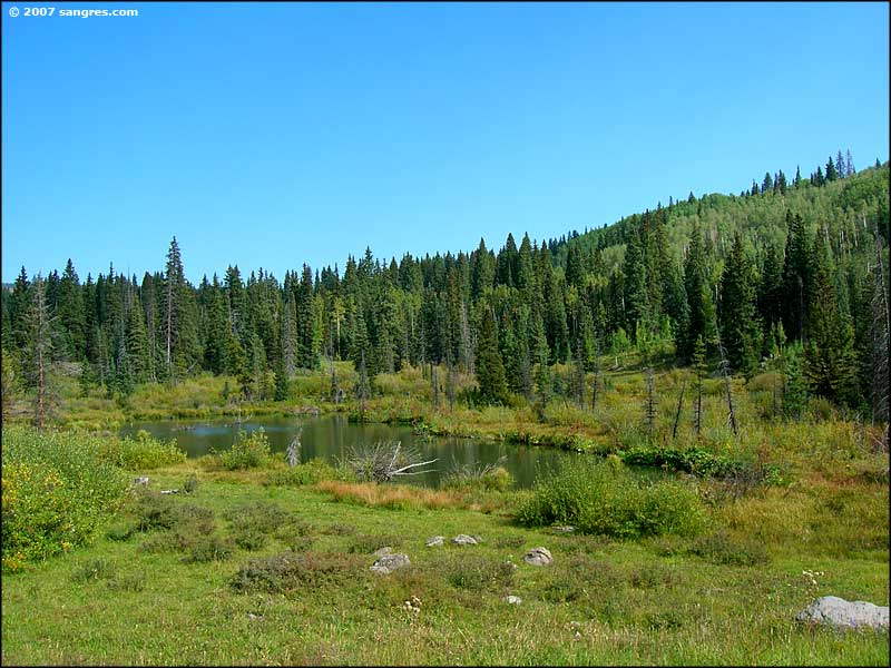 Natural pond |
 The view towards Delta |
