Scenic Highway of Legends
San Isabel National Forest to Cuchara Pass
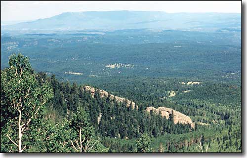
A view back to the southeast, to Fisher's Peak above Trinidad
This page follows the Apishapa Road as it travels over Cordova Pass and reaches State Highway 12 at the summit of Cuchara Pass. The Apishapa Road was incorporated into the Scenic Highway of Legends, a National Forest Service and Colorado Scenic Byway on September 29, 2001. This page takes up at the San Isabel National Forest boundary on the east side of Cordova Pass.
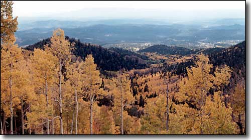
A similar view as above, in the fall
After Spanish Peaks Ranch, the road begins to get steeper, with more rock than gravel. There's an area along the Apishapa River here where the fishing is good and there are a couple of undeveloped campsites in the trees. As the road climbs, there are several switchbacks as the road meanders back and forth across private and federal boundaries several times. The views just get bigger as you go up the hill.
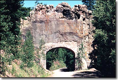
The Apishapa Arch, cut through one of the Dikes, east of the Pass
When the Civilian Conservation Corps was building this road in 1933-34, they tunneled through one of the dikes and built a rock masonry arch to support the dike as it passed over the road. Several slow miles further on, the road finally reaches Cordova Pass, 11,248 feet. This is the center of the largest stand of Bristlecone Pines in the world. This is also where the primary climbing trail on the West Spanish Peak begins.
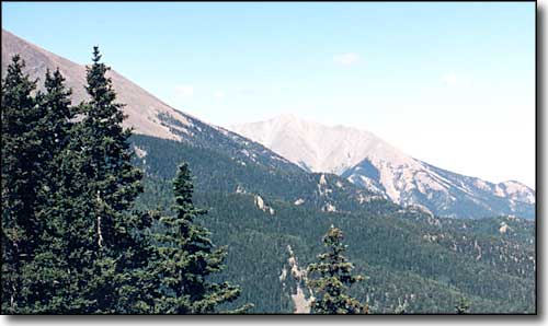
Looking at the East Spanish Peak, still on the east side of Cordova Pass
The Spanish Peaks are not extinct volcanoes. Rather, they are stocks: large masses of magma that rose to fill cavities underground but never forced it's way to the surface before cooling.
Radiating outwardly from the Spanish Peaks in all directions are large granite dikes. These are the result of the Earth splitting open and magma welling up thru the cracks. However, at the time they were formed, the cracks were several miles underground (as were the stocks that we now call the Spanish Peaks.) As the ground was pushed up, erosion washed away all the overlying layers of sedimentary rock until the much harder granite stocks and dikes were exposed.
The photo to the above-right was taken near the handicapped-accessible overlook, about 1/2 mile east of Cordova Pass. It shows the primary climbing route up the West Spanish Peak: up that cleft in the middle of the photo. The cliff bands are shale and basalt while the fuzzy stuff is loose talus. When climbing, all the trails seem to lead into the talus but if you stick with the stable surfaces and don't follow the "trail," the climb is pretty easy.
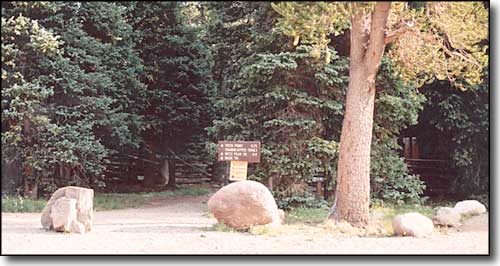
The West Peak Trailhead, also leads to the handicapped-accessible overlook
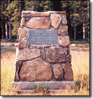
The structure to the left is at the summit of the pass. Also at the summit are several picnic areas with tables and fire pits, and a couple of campsites and a pit toilet. The site is maintained and is a fee area.
There are several hiking trails leaving the Pass area and going in different directions. Almost none of these trails are "loop" trails, meaning they dead-end against a private property boundary and you return by retracing your steps. Also, less than 1/2 mile south of the Pass is a fence against private land. The gated 4x4 trail leading south from the Pass passes a couple of pioneer-type cabins on the Forest before reaching this fence. This is an excellent hunting area but that landowner patrols his property in season. And usually, for six months of the year, the only way into this place is by helicopter, snowmobile or snowshoe: the US Forest Service allows no snow plowing.
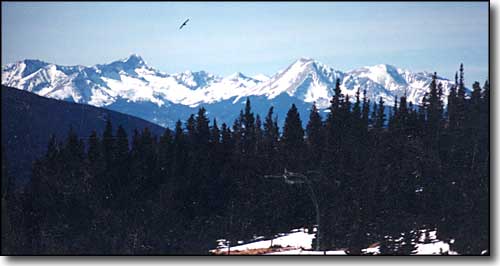
Blanca Peak and Mt. Lindsey from near Cordova Pass
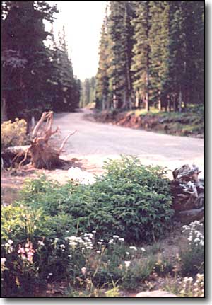
Before the road was made part of the scenic byway, a lot of money was poured into it to make it more user friendly. The road we have now is far better than it was just five years ago. I don't want to think about the condition it was in within a few years of its construction by the CCC in the mid-1930's.
Usually, the road is snowed closed by early November and doesn't open up again until mid-to-late May. Even then, before most traffic can cross the Pass, the deadfall has to be cleaned up: a normal winter leaves a number of tall trees downed across the road. And west of Cordova Pass, the road is mostly on steep northern slopes until well past Cuchara Pass Ranch.
The views here are gorgeous, too, with vistas of the near Sangre de Cristo's through the trees and shots of the Blanca Massif in the distance. And there are many places where you can look down and see the great dikes running cross-country below. About three miles west of the Pass is an area where you can see the Dakota Wall below and make out some of the folds in the Earth created when the Ancestral Rockies and the Sangre de Cristo's were pushed up. The road is less steep here and winds back and forth across big meadows surrounded with aspens and views. About 1/2 mile east of Cuchara Pass you will come to the Farley Wildflower Overlook. Make the stop and enjoy the view. There are several storyboards here that go into the flowers, history and geology of the area and some of what you are looking at. In the distance, you can just make out the site of Cuchara Mountain Resort. From here to the summit of Cuchara Pass is a very gentle drive, as you come below 10,000 feet in elevation for the first time in 12 miles.
