 |
Cuchara Pass - South SideLas Animas County, Colorado |
|
|
 Looking north up the pass from North Fork area |
|
Cuchara Pass crosses that rib of mountain rock that crosses between the West Spanish Peak and the Sangre de Cristo Mountains, just south of Cuchara, Colorado. The summit is at 9,995 feet in elevation. For this series of photos I drove the pass from south to north. I kinda figure the pass approach really begins where the North Fork Road meets State Highway 12 just east of North Lake. From that point on there's hardly a building until you're almost down on the north side of the pass. It's a beautiful drive at any time of year (although I have seen the road closed for up to 3 days because of snow). The fall is particularly gorgeous when the leaves are turning because there's so many aspens up here. The Sangre de Cristo's through here are fault-block mountains, meaning there are fault lines running parallel to both sides of the mountain chain and the rock that forms the mountains themselves was pushed upwards in one large thrust. That push upwards broke through the horizontal layers of rock above and bent them upwards at an almost 90 angle (that's why the Dakota Wall but the Dakota Sandstone wasn't the only layer of stone that was turned upwards). The road through here is travelling along those upturned layers of stone, parallel to the fault lines on this side of the mountains (the east side). That's why there looks to be rows of ridges along the way. |
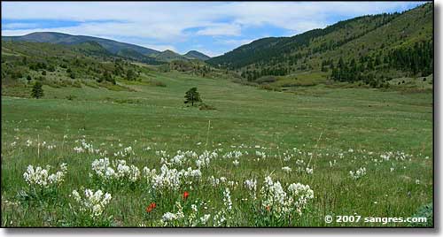
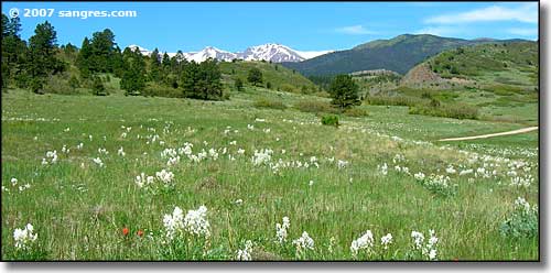 Looking west toward North Lake, from same place as top photo 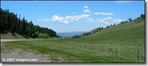 Looking south, about halfway to the summit 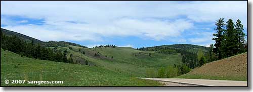 Looking north, same place as above 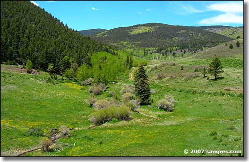 Looking west, private land in the foreground, San Isabel National Forest in the background 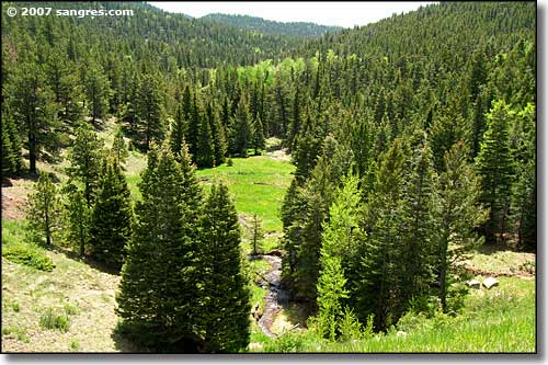 Looking east, same place as above, all private land 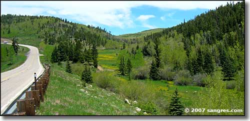 Almost to the summit, looking northeast (into Cuchara Pass Ranch) 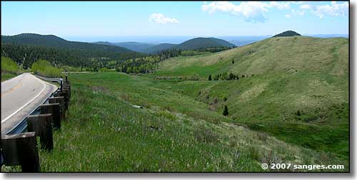 Looking south, just below the summit 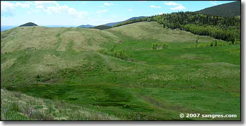 Just below the summit, looking southwest, you can almost see the upturned layers of rock 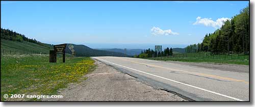 Looking south at the summit, New Mexico's volcanos on the horizon To continue the drive: Cuchara Pass - North Side |
|
|
Cuchara Pass Related Pages
Cuchara Pass - North Side - Scenic Highway of Legends - Las Animas County
San Isabel National Forest - Sangre de Cristo Mountains - Spanish Peaks North Lake State Wildlife Area - Cuchara - Stonewall Colorado Pages
Towns & Places - Scenic Byways - State Parks - BLM Sites - History & Heritage
Ski & Snowboard Areas - Photo Galleries - Colorado Mountains - Scenic Railroads Unique Natural Features - Wilderness Areas - Outdoor Sports & Recreation Colorado's National Forests - National Wildlife Refuges - Colorado's National Parks |
 |
| Index - Arizona - Colorado - Idaho - Montana - Nevada - New Mexico - Utah - Wyoming National Forests - National Parks - Scenic Byways - Ski & Snowboard Areas - BLM Sites Wilderness Areas - National Wildlife Refuges - National Trails - Rural Life Sponsor Sangres.com - About Sangres.com - Privacy Policy - Accessibility |
| Photos courtesy of Sangres.com, CCA ShareAlike 3.0 License. All text Copyright © by Sangres.com. All rights reserved. |