 |
Power County, Idaho |
 |
|
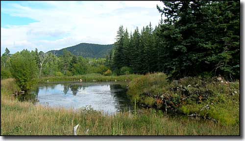
Power County is in southeastern Idaho against American Falls Reservoir. Power County was named for the American Falls Power Plant when it was created by the Idaho Legislature back in 1913. Power County contains 1,406 square miles of land and 37 square miles of water. The county seat is American Falls. |
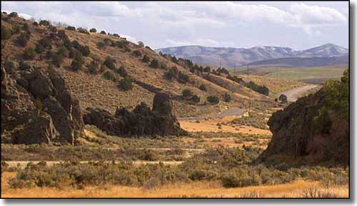 Massacre Rocks |
| Fast Facts about Power County, Idaho |
|
Resident Racial Breakdown:
White Non-Hispanic: 68.4% Hispanic: 27.4% Native American: 3.6% Types of Jobs: Private Sector, wages or salary: 67% Government Sector: 18% Unincorporated, Self-Employed: 13% Homemaker, Unpaid: 2% Population Density: 6 People per Square Mile 2011 Cost of Living Index for Power County: 83.9
2009 Estimates: Population: 7,734 Males: 3,882 Females: 3,852 Median Resident Age: 31.6 Years Estimated Median Household Income: $32,500 Estimated Median Home Value: $129,000 Major Industries: Agriculture & Forestry, Educational Services, Food Processing, Health Care, Construction, Lodging & Food Services, Machinery, Transportation Services, Government, Waste Management Services |
|
|
 |
| Index - Arizona - Colorado - Idaho - Montana - Nevada - New Mexico - Utah - Wyoming National Forests - National Parks - Scenic Byways - Ski & Snowboard Areas - BLM Sites Wilderness Areas - National Wildlife Refuges - National Trails - Rural Life Advertise With Us - About This Site - Privacy Policy |
| Upper photo courtesy of Sangres.com, CCA ShareAlike 3.0 License. Photo of Massacre Rocks courtesy of Mathew Trump, CCA ShareAlike 3.0 License. Text Copyright © by Sangres.com. All rights reserved. |