 |
Pebble Creek Ski Area |
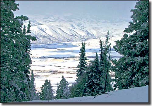
 The view from the top of Pebble Creek Ski Area |

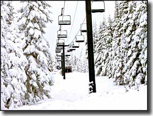
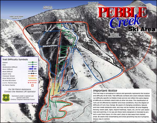
Just south of Pocatello in the Caribou-Targhee National Forest, Pebble Creek Ski Area is an extreme skier's playground. There's also plenty of terrain variety for other skill levels and virtually non-existent lift lines. There is a terrain park with a half-pipe and night skiing happens regularly. The base lodge offers cafeteria-style dining and the rental shop carries high performance shaped skis. The ski runs are on the northwestern slopes of Mount Bonneville. The summit is at 9,271' in elevation but the ski lift only runs up to 8,560'. Extreme skiers are allowed to climb to the true summit on footand enjoy that added 711 feet of vertical expert-only slope... To get there: get off Interstate 15 at the Inkom exit and follow Highway 91 south. There'll be signs along the way. |
| Quick Facts about Pebble Creek Ski Area |
|
Caribou-Targhee National Forest
Nearest City: Pocatello GPS Coordinates: 42.833333, -112.166667 Google Satellite Map Season: Late November to early April (Weather permitting) Hours of operation: 9:30 AM to 4:30 PM Lifts: 3 * 3 triple chairs Base Elevation: 6,360 ft
Top Elevation: 8,560 ft Vertical Rise: 2,260 ft Skiable Terrain: 1,100 Acres Average Annual Snowfall: 250 inches Snowmaking: lower runs only Night skiing: No Number of Trails: 54 Trails Classifications: Beginner: 12% More Difficult: 35% Most Difficult: 53% Longest Run: 1.1 miles |
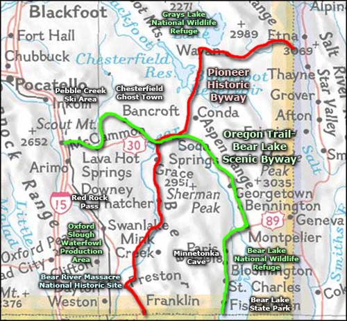
 Pebble Creek Ski Area ski trails map  Pebble Creek Ski Area area map |
|
|
Pebble Creek Ski Area Related Pages
Idaho Ski & Snowboard Areas - Oregon Trail-Bear Lake Scenic Byway
Pioneer Historic Byway - Oxford Slough Waterfowl Production Area Grays Lake National Wildlife Refuge - Bear Lake National Wildlife Refuge Bear River Massacre National Historic Site - Bear Lake State Park Idaho Pages |
 |
| Index - Arizona - Colorado - Idaho - Montana - Nevada - New Mexico - Utah - Wyoming National Forests - National Parks - Scenic Byways - Ski & Snowboard Areas - BLM Sites Wilderness Areas - National Wildlife Refuges - National Trails - Rural Life Advertise With Us - About This Site - Privacy Policy |
| Upper photos and Ski Trails Maps courtesy of Pebble Creek Ski Area Area map courtesy of National Geographic Topo! Text Copyright © by Sangres.com. All rights reserved. |