 |
Montana Snowbowl |
 Montana Snowbowl |
|
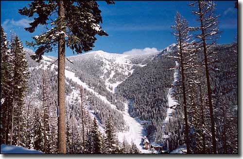
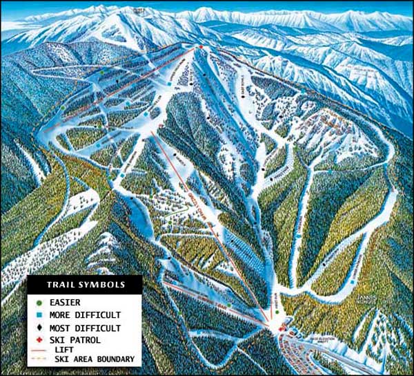
To hear the extremists talk, you'd think the 2,600 feet of continous vertical drop at Montana Snowbowl is purely an extremist dream come true... but the Snowbowl isn't all beast. Yeah, there's lots of deep powder bowls and steep mogul-filled black diamond runs but 40% of the mountain is rated intermediate. Thursday and Friday even bring night skiing in the Sunrise bowl. There's lots of cross-country skiing trails, too. Montana Snowbowl is just 20 minutes north of downtown Missoula. Take the Reserve Street Exit off the I-90 and follow Grant Creek Road north for 4.5 miles. Then turn left on Snowbowl Road and go 6.5 miles to the top. |
| Quick Facts about Montana Snowbowl |
|
Nearest City: Missoula
GPS Coordinates: 47.023611, -113.997222 Google Satellite Map Season: Mid-December to early April (Weather permitting) Hours of operation: 9:30 AM to 4:00 PM Lifts: 4 * 2 double chairs * 2 Handle tows Average Annual Snowfall: 300 inches Base Elevation: 5,000 ft
Top Elevation: 7,600 ft Vertical Rise: 2,600 ft Skiable Terrain: 950 acres Number of Trails: 39+ Trails Classifications: Beginner: 10% More Difficult: 40% Most Difficult: 50% Longest Run: 3 miles |
 |
|
|

|
| Index - Arizona - Colorado - Idaho - Montana - Nevada - New Mexico - Utah - Wyoming National Forests - National Parks - Scenic Byways - Ski & Snowboard Areas - BLM Sites Wilderness Areas - National Wildlife Refuges - National Trails - Rural Life Advertise With Us - About This Site - Privacy Policy |
| Upper photo courtesy of Montana Snowbowl. Ski Trails Map courtesy of Montana Snowbowl Text Copyright © by Sangres.com. All rights reserved. |