|
||||||||||||
|---|---|---|---|---|---|---|---|---|---|---|---|---|
Greenhorn MountainWet Mountains |
||||||||||||
|
|
||||||||||||
|
||||||||||||
|
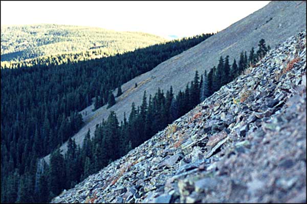
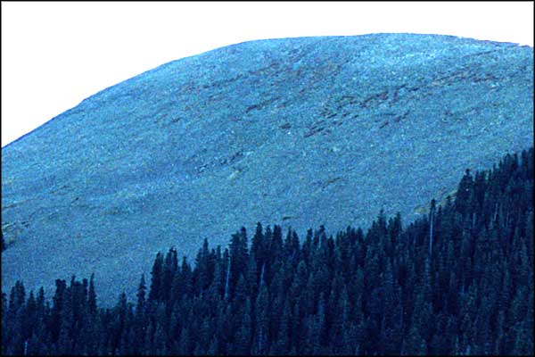
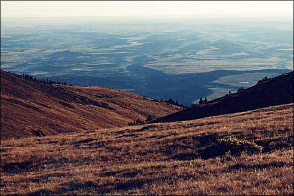
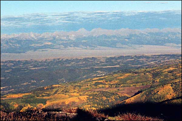
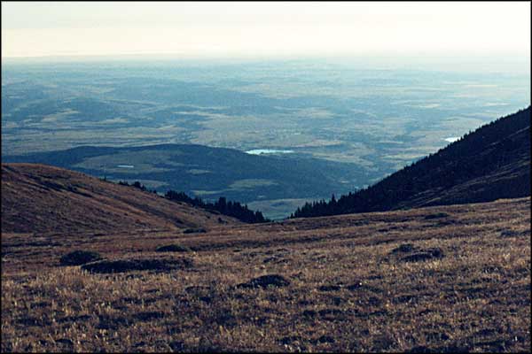
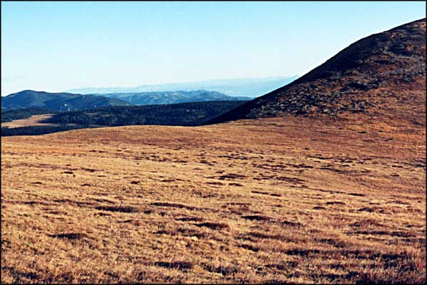
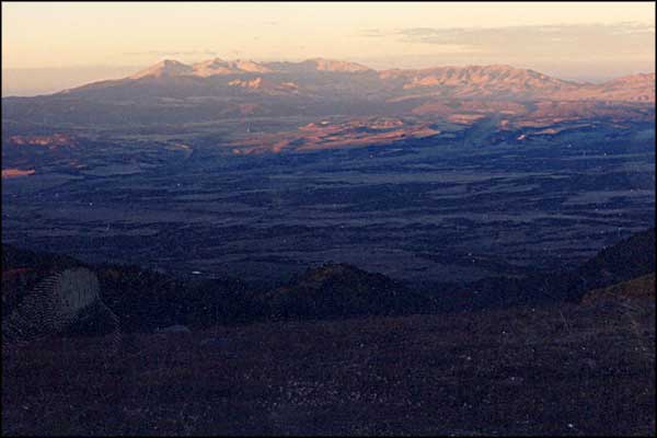
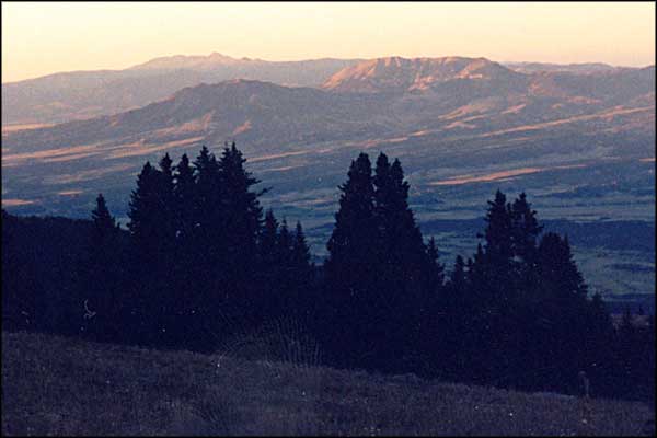
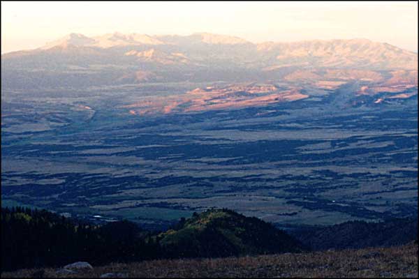
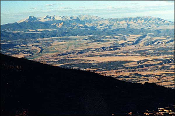
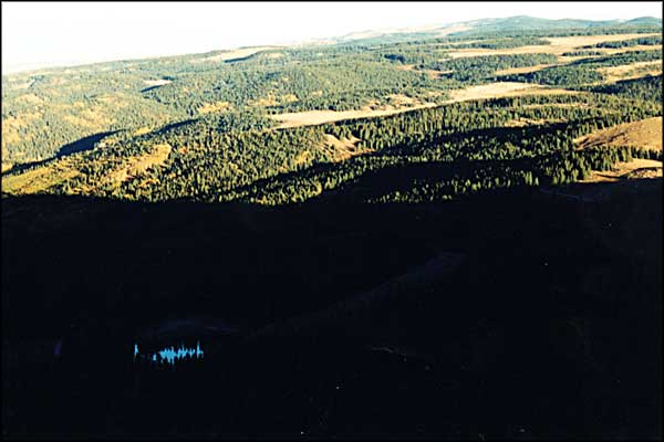
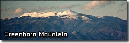
This small group of photos commemorates an early morning journey onto Greenhorn Mountain. Greenhorn Mountain is at the southern end of the Wet Mountains. There is Forest Service road right to the bottom of the rock pile, then you walk. The parking area is right at the boundary of the Greenhorn Mountain Wilderness in the San Isabel National Forest. Reaching the top of the North Peak only took an hour from the parking place but the Greenhorn Trail led straight across the face of the rock pile that the peak is composed of. This was early October and the wind was pretty stiff, especially at sunrise. As soon as we crested the edge of the rock face we were in a large bowl of grass and small shrubs. The going was very easy but the wind was howling. The South Peak (12,346') was across the mountaintop meadow but when we reached the ridgeline we'd have to walk for a mile, the wind convinced us to be content with reaching the top of the North Peak (12,221'). When we left here we went north thru the Wet Mountains and took the Wet Mountain photos in this branch of the San Isabel National Forest. |
||||||||||||
| Clicking on any of these photos will open a new window or new tab in your browser and bring you a larger version of that photo. |
||||||||||||
| ||||||||||||
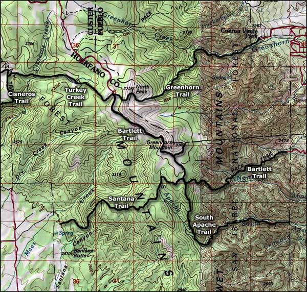 Greenhorn Mountain area map |
||||||||||||
|
|
||||||||||||
Greenhorn Mountain Related PagesSan Isabel National Forest PagesColorado Pages
Towns & Places - Scenic Byways - State Parks - BLM Sites - History & Heritage Ski & Snowboard Areas - Photo Galleries - Colorado Mountains - Scenic Railroads Unique Natural Features - Wilderness Areas - Outdoor Sports & Recreation Colorado's National Forests - National Wildlife Refuges - Colorado's National Parks |
||||||||||||

|
||||||||||||
| Index - Arizona - Colorado - Idaho - Montana - Nevada - New Mexico - Utah - Wyoming National Forests - National Parks - Scenic Byways - Ski & Snowboard Areas - BLM Sites Wilderness Areas - National Wildlife Refuges - National Trails - Rural Life Advertise With Us - About This Site - Privacy Policy |
||||||||||||
| Photos courtesy of Sangres.com, CCA ShareAlike 3.0 License. Map courtesy of National Geographic Topo! Text Copyright © by Sangres.com. All rights reserved. |