 |
|||||||||
|---|---|---|---|---|---|---|---|---|---|
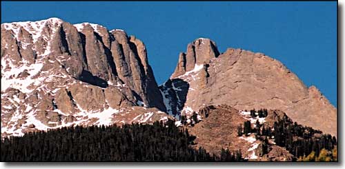
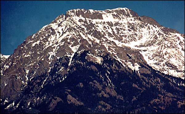
Kit Carson Peak and Challenger PointSangre de Cristo Mountains |
|||||||||
|
|
|||||||||
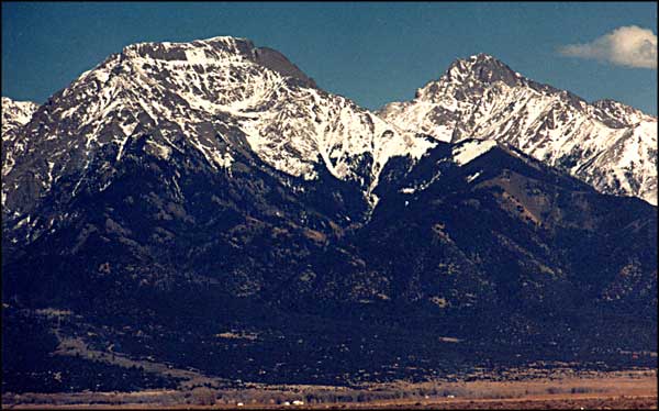
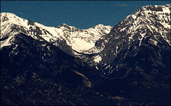
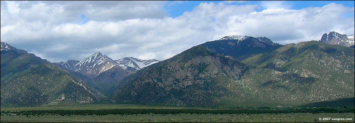
 Challenger Point, Kit Carson Peak and Columbia Point on the left, Crestone Peak and Crestone Needle on the right, taken from San Luis Lakes State Park. |
|||||||||
|
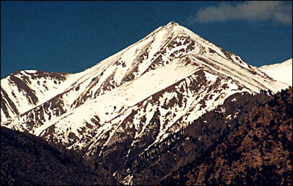
Kit Carson Peak and Challenger Point are pretty good climbs with some technical routes available. The Prow on Kit Carson is every bit as challenging as the Ellingwood Arete on Crestone Peak. The two main routes to the summit of Challenger Point are rated 2+ while the routes to the summit of Kit Carson Peak vary from 3 to 5.8. The southern approaches and the summits of Kit Carson and Challenger are both on the Baca Grande, which is now owned by the National Park Service. The easiest way to the peaks is through the Willow Creek drainage: 5 miles to Willow Lake and the waterfall. Then you are 1 mile north of the true base of Kit Carson and Challenger. Columbia Point was formerly known as "Kat Carson" and is one of the 100 highest peaks in Colorado. It was renamed for the Space Shuttle that disintegrated on reentry in 2002. There are routes from the west that go to Columbia but the easiest route comes from the east below the north face of the Crestones. |
|||||||||
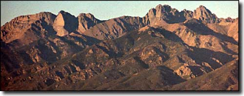
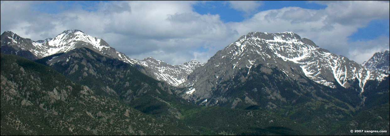
 Challenger Point, Kit Carson Peak and the Prow, from the Spanish Creek drainage southeast of Crestone, Colorado |
|||||||||
| Clicking on any of these photos will open a new window or new tab in your browser and bring you a larger version of that photo. |
|||||||||
| |||||||||
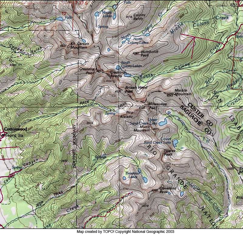
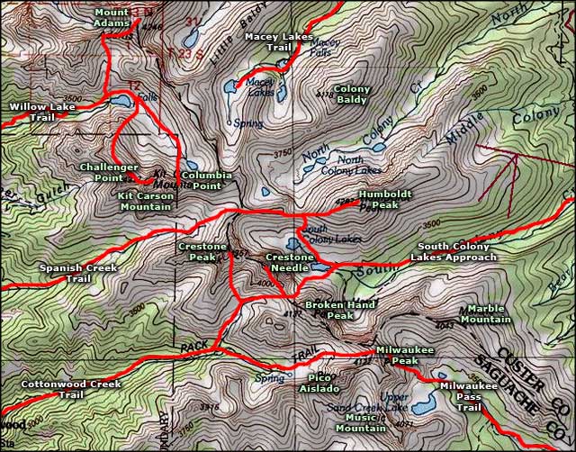 Kit Carson Mountain area map |
|||||||||
|
|
|||||||||
Kit Carson Mountain Related Pages
Crestones from the West - Sangres Panoramas from the San Luis Valley
Crestones from the East - Saguache County - Kit Carson Area Topo Map Colorado Pages
Towns & Places - Scenic Byways - State Parks - BLM Sites - History & Heritage Ski & Snowboard Areas - Photo Galleries - Colorado Mountains - Scenic Railroads Unique Natural Features - Wilderness Areas - Outdoor Sports & Recreation Colorado's National Forests - National Wildlife Refuges - Colorado's National Parks |
|||||||||

|
|||||||||
| Index - Arizona - Colorado - Idaho - Montana - Nevada - New Mexico - Utah - Wyoming National Forests - National Parks - Scenic Byways - Ski & Snowboard Areas - BLM Sites Wilderness Areas - National Wildlife Refuges - National Trails - Rural Life Advertise With Us - About This Site - Privacy Policy |
|||||||||
| Photos courtesy of Sangres.com, CCA ShareAlike 3.0 License. Map courtesy of National Geographic Topo! Text Copyright © by Sangres.com. All rights reserved. | |||||||||


