 |
Lamoille Canyon Scenic Byway |
 Lamoille Canyon Scenic Byway |
|
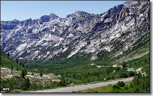
This is a beautiful drive through a glacier-carved canyon in the Ruby Mountains south of Elko. From State Route 227, 27 miles southeast of Elko, the Lamoille Canyon Scenic Byway is 13.5 miles of "sky-island" traveling topping out at 8,800' below Ruby Dome (11,387'). Along the way you'll pass a few large avalanche chutes, lots of wildlife, several waterfalls and 4 interpretive panels with geological information about what you're driving through. Some folks call this valley "the Yosemite of Nevada." There's no plowing here so, in season, portions of the road may be closed by snowfall. The Ruby Mountains are probably the wettest mountains in Nevada so this verdant area can be a nice break from all that surrounding brown desert... The Ruby Mountains are high enough and far enough north to have experienced extensive glaciation during the Ice Ages. Lamoille Canyon was carved out of the solid granite here by those glaciers, and that's why the canyon has that classic topography and those classic rock faces rising high above. Along the drive you'll find the turnout/parking area for the northern trailhead of the Ruby Crest Trail: a 40-mile hiking trail up into the finest countryside the Ruby Mountains have to offer. The trail's southern terminus is at Harrison Pass, on the Forest Service Road across the Ruby's leading to Ruby Lake National Wildlife Refuge. |
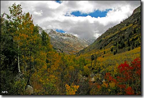 Looking into the canyon in the fall 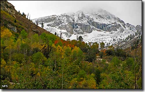 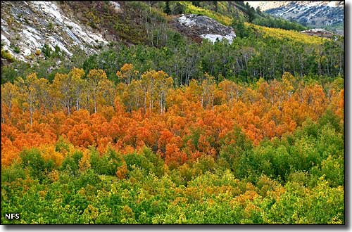 Aspens in the floor of Lamoille Canyon in the fall 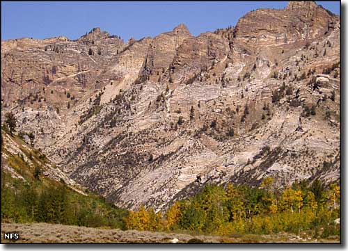 The wall of Lamoille Canyon 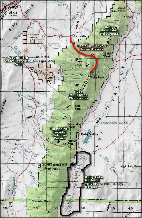 Lamoille Canyon Scenic Byway area map |
|
|

|
| Index - Arizona - Colorado - Idaho - Montana - Nevada - New Mexico - Utah - Wyoming National Forests - National Parks - Scenic Byways - Ski & Snowboard Areas - BLM Sites Wilderness Areas - National Wildlife Refuges - National Trails - Rural Life Advertise With Us - About This Site - Privacy Policy |
| Photos of Lamoille Canyon courtesy of the National Forest Service. Lower photo of the wall at Lamoille Canyon courtesy of Debbie Knudsen, National Forest Service Area map courtesy of National Geographic Topo! Text Copyright © by Sangres.com. All rights reserved. |