 |
Ireteba Peaks Wilderness |
|
|
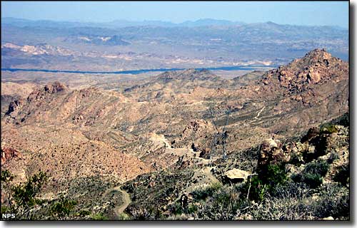 The view east from the upper ridge of the Ireteba Peaks |
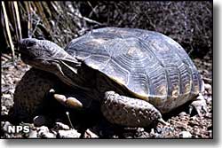
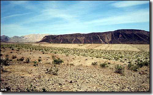
The Ireteba Peaks Wilderness is a 32,745-acre property about 50 miles south of Las Vegas, partially contained within the Lake Mead National Recreation Area with a small section extending beyond that boundary into Bureau of Land Management land. The Ireteba Peaks themselves extend along a high, central ridge, part of the El Dorado Mountains, and the Ireteba Peaks Wilderness extends eastward from the western bajada across that sharp ridgeline to the shoreline of Lake Mohave. The mountainous area is full of secluded valleys between rugged mountains, with gently rolling hills and serpentine washes extending eastward to the lake shore. West of that central ridge are steep slopes that drop quickly into the bajada. Vegetation in this area is mostly of the Mohave Desert persuasion: yucca, Joshua tree, teddy bear cholla forests, creosote bush, etc. In the higher elevations you'll find scattered small stands of pinon and juniper. For wildlife there's desert bighorn sheep, mountain lion, bobcat, gray fox, jackrabbit and coyote, with endangered desert tortoise, side-blotched lizard and different species of rattlesnake among the reptiles. The Ireteba Peaks Wilderness also has several petroglyph sites and one of the only pictograph sites in southern Nevada. Most folks access the Ireteba Peaks Wilderness through the narrow canyons in the Lake Mead National Recreation Area. A lot of hikers head for the knifelike central ridge and the great views of Lake Mohave and the Colorado River. Boulderers and rock climbers head to the large granite boulders in the northern end of the Ireteba Peaks Wilderness. |
 In the Ireteba Peaks Wilderness 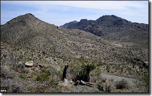 The Ireteba Peaks in the Ireteba Peaks Wilderness 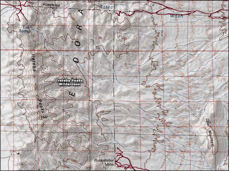 Ireteba Peaks Wilderness map |
|
|

|
| Index - Arizona - Colorado - Idaho - Montana - Nevada - New Mexico - Utah - Wyoming National Forests - National Parks - Scenic Byways - Ski & Snowboard Areas - BLM Sites Wilderness Areas - National Wildlife Refuges - National Trails - Rural Life Advertise With Us - About This Site - Privacy Policy |
| Photo of the Desert Tortoise are courtesy of the National Park Service. Other photos courtesy of John Tesar, National Park Service Map courtesy of National Geographic Topo! Text Copyright © by Sangres.com. All rights reserved. |