San Lorenzo Canyon Recreation Area

Hiking at San Lorenzo Canyon Recreation Area
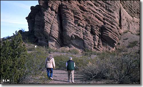
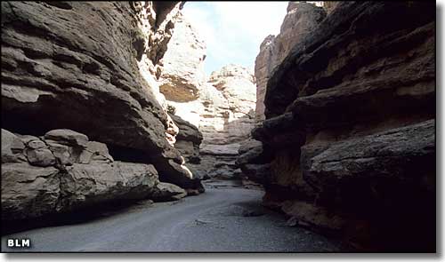
San Lorenzo Canyon Recreation Area is an east-west canyon located against the southern edge of the Sevilleta National Wildlife Refuge. The area is full of shelter caves, arches and many different rock formations. The cottonwoods indicate there was once a reliable water source in the area, but not any more. Hidden in the canyon bottoms and washes you might find some tiny springs and creeks but you'll also find the remains of old homesteads and ranches. The Rio Grande Mule and Donkey Association and the New Mexico Carriage Club often use this area for their group events.
The San Lorenzo Canyon Recreation Area allows hiking, backpacking, picnicking and primitive camping but there are no facilities, no toilets, no drinking water. The property is open year round and there are no fees involved.
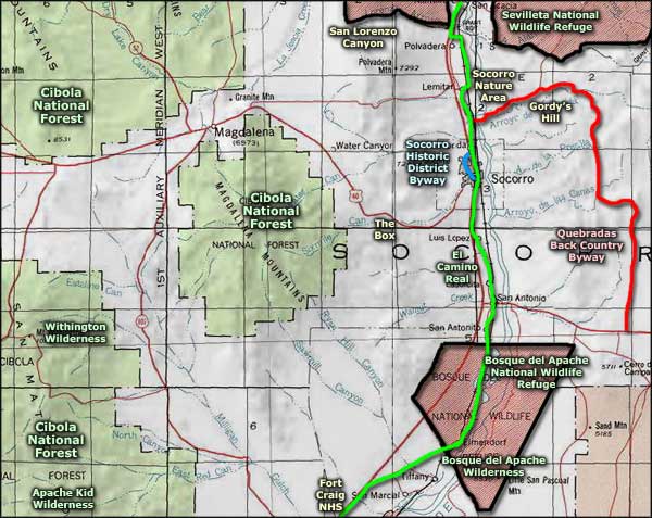
To get there: Get off the I-25 at Lemitar (about 7 miles north of Socorro). Take the west frontage road north about 5 miles. Before you hit the boundary of Servilleta Natonal Wildlife Refuge, you'll find a maintained dirt road heading west that will take you into the main canyon.
Note: Sevilleta National Wildlife Refuge is normally closed to visitors.
Maps: BLM - Socorro

In San Lorenzo Canyon

San Lorenzo Canyon Recreation Area area map
Sevilleta National Wildlife Refuge - Apache Kid Wilderness
Socorro Nature Area - Gordy's Hill Recreation Area - Quebradas Back Country Byway
The Box Recreation Area - Fort Craig National Historic Site - Withington Wilderness
El Camino Real - Socorro Historic District Byway - Cibola National Forest
Photo Galleries - Unique Features - BLM Sites - Outdoor Sports & Recreation
New Mexico's National Forests - Wilderness Areas - New Mexico's National Parks
National Wildlife Refuges - Ski & Snowboard Areas
