 |
|---|
Hunting and Fishing on
|
|
|
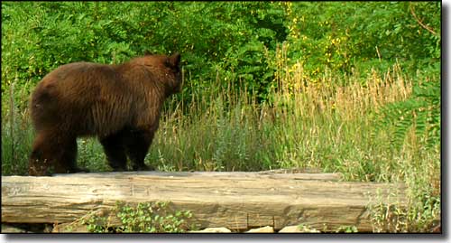 A Black Bear in the weeds |
Gunnison County State Trust Lands Black Sage Pass - GMU 551 Daley Gulch - GMU 551 Quakey Mountain - GMU 551 Tomichi Dome - GMU 551 Gunnison County State Fish Units Pitkin Roaring Judy |
|
Black Sage Pass From US 50 at Marshall Pass Road (FSR 243), go north on US 50 for 1 mile to FS 888. Turn north on FS 888 and go 5.5 miles to southern boundary of property. Daley Gulch 3/4 mile north of Forest Service Road 243 and US 50 (near Sargents), go west into property. Enter through gravel pit on west side of highway across from the state highway barn. Quakey Mountain Go east on US 50 from junction between US 50 and Highway 135 about 17 miles to CR 887 (Waunita Hot Springs Road), go north 10 miles to summit of Black Sage Pass, then go south on FSR 887.48. Park at trailhead 537 and go 2.5 miles. Tomichi Dome From downtown Gunnison, go 17 miles east on US 50 to BLM Road 3095 (Waunita Hot Springs Road), then go north 4 miles to western boundary of property. |
|
State Wildife Areas |
|
Almont Triangle Go 3 miles north of Almont on Highway 135. Beaver Lake Go 1/4 mile east of Marble on CR 3. Beaver Reservoir Go east out of Paonia on 0-50 to USFS Road 710, follow the signs. Go north from Gunnison on Highway 135 to CR 10, turn and go east on paved road to where USFS Road 743 begins. Go 8 miles to USFS Road 604, turn right, go 3/4 mile. Centennial Go 10 miles west of Gunnison on US 50. Property is north of highway. Cimarron Go 23 miles east of Montrose on US 50 to Little Cimarron Road, then go 2 miles south to access road, turn and go 1.5 miles southwest to property. Dutch Gulch Go 5.3 miles east of Gunnison on US 50 to CR 42, turn and go south 7 miles (CR 42 turns into BLM Road 307). Gunnison Go 6 miles west of Gunnison on US 50 to property. Gunnison River Go north from Gunnison on Highway 135 to CR 13, turn left and go 1/4 mile to where road jogs left and turns into Tincup Street in Gunnison. Go 3 blocks west to Palisade city park and park on the north side of the park. Property is accessed on foot 1/2 mile west of the parking lot. Lake Irwin Go north from Gunnison on Highway 135 to Ohio Creek Road to Kebler Pass Road. Continue north to USFS Road 826, then go 1.5 miles. Leaps Gulch Go north from Gunnison on Highway 135 to CR 10, then turn and go east on paved road to where USFS Road 743 starts. Go 8.2 miles on USFS Road 743 until it turns left from the main road. Follow trail 3.5 miles. Sapinero Go 15 miles west from Gunnison on US 50. Access property from East Elk Creek, Red Creek or Dry Gulch road. Spring Creek Reservoir In Almont, go east 6 miles on CR 742 to Spring Creek Road. Turn left on Spring Creek Road and go 14 miles to property. Taylor River Go 10 miles north of Gunnison on Highway 135 to Taylor River Road (USFS Road 742), then go 18 miles east to base of Taylor Reservoir. Viking Valley RESTRICTIONS: Closed unless authorized by landowner. _____________________________________________Wuanita Watchable Wildlife Area RESTRICTIONS: Pack it in, pack it out; No camping, fires or shooting allowed; Dogs allowed only if kept inside your vehicle. |
| State Fish Units |
|
Pitkin Go 14 miles east of Gunnison on US 50 to Quartz Creek Road, turn and go 14 miles east to Parlin, turn north. Roaring Judy Go 15 miles northwest of Gunnison on East River. |
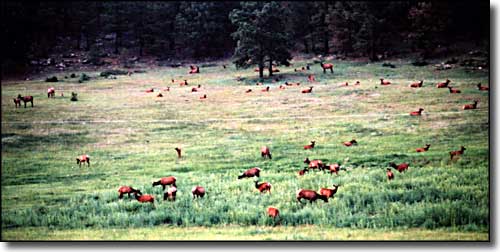 Elk in a meadow |
|
|
Gunnison County Related Pages
Colorado Trust Lands & Wildlife Areas - GMU Map (.pdf)
State Trust Lands FAQ - Big Game Seasons (.pdf) Gunnison County - The Colorado Fishing Story Colorado Pages
Towns & Places - Scenic Byways - State Parks - BLM Sites - History & Heritage Ski & Snowboard Areas - Photo Galleries - Colorado Mountains - Scenic Railroads Unique Natural Features - Wilderness Areas - Outdoor Sports & Recreation Colorado's National Forests - National Wildlife Refuges - Colorado's National Parks |

|
| Index - Arizona - Colorado - Idaho - Montana - Nevada - New Mexico - Utah - Wyoming National Forests - National Parks - Scenic Byways - Ski & Snowboard Areas - BLM Sites Wilderness Areas - National Wildlife Refuges - National Trails - Rural Life Advertise With Us - About This Site - Privacy Policy |
| Photos courtesy of Sangres.com, CCA ShareAlike 3.0 License. All text Copyright © by Sangres.com. All rights reserved. |