Bridger Wilderness

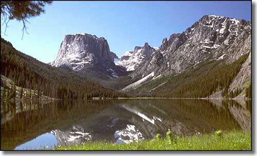
The Green River Lakes in Bridger Wilderness
Bridger Wilderness is named for Jim Bridger, one of the most famous mountain men in American history. The 428,087 acres of the Wilderness are located in the Wind River Mountains of western Wyoming. The open alpine meadows, alpine forest and glacier-carved granite summits that make up most of the Bridger Wilderness extend along the western slope of the Continental Divide for almost 80 miles. The cirques, kettles, hanging troughs and valleys hold more than 2,300 crytal-clear lakes and ponds, and seven of the ten largest glaciers in the lower 48 states. The headwaters of the Green River are here, too. At 13,804', Gannett Peak, on the shared boundary with Fitzpatrick Wilderness, is the highest point in Wyoming. Gannett sits in the heart of a sea of jagged upthrust granite summits, testimony to the power of geological compressive forces deep in the earth below.
On the east side of the Continental Divide from the Bridger Wilderness are the Popo Agie and Fitzpatrick Wildernesses and the Wind River Indian Reservation. The elevations vary from about 8,000' to 13,804' with timberline generally around 10,300'. That means you could see snow and/or freezing nights at any time of year. Trails and passes in the high country can hold snow into mid and late July, although the lower elevations are usually clear by late June.
There are more than 600 miles of maintained trails in the Bridger Wilderness, but a lot of them don't see humans until fall big game hunting season: these forests are full of elk, moose, black and grizzly bear, mule deer, grey wolves, wolverine, mountain lions and bighorn sheep. The streams carry cutthroat, brook, brown, and rainbow trout in addition to the indigenous mountain whitefish and grayling. But the terrain is often steep and there are many high mountains in the area so a lot of these trails also lead to the lower ends of climbing routes.

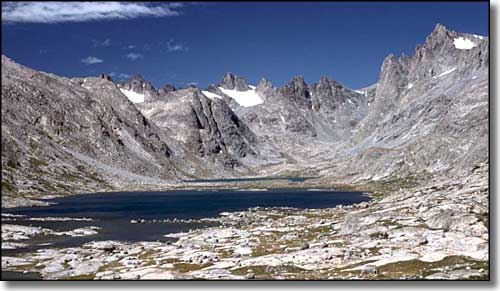
Titcomb Lakes, high in the Wind River Range

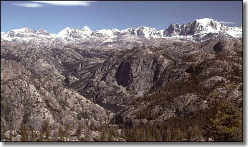
High country in the Wind River Range

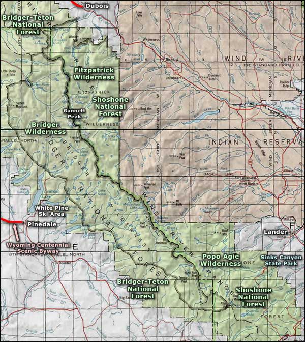
Bridger Wilderness map
Popo Agie Wilderness - Fitzpatrick Wilderness - White Pine Ski Area
Centennial Scenic Byway - Sinks Canyon State Park
