Aubrey Peak Wilderness

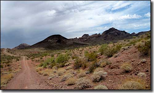
Coming up on Aubrey Peak Wilderness from the south
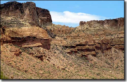
Aubrey Peak Wilderness is mostly one stark mesa bounded by cliffs on all sides. Aubrey Peak dominates the eastern half of the 15,400-acre Aubrey Peak Wilderness. This is a brightly colored landscape of stark geologic formations and volcanic structures. You'll find spires, tufa caves, slickrock terraces, natural windows, and tinajas (deep potholes of water in the stone). This area straddles the border between Mojave and Sonoran Desert vegetation with Joshua trees and other Mojave plants merging with Sonoran saguaros, ironwood, palo verde, and smoke trees. Aubrey Peak Wilderness with all its mesas, buttes, winding canyons and volcanic plugs is also filled with birds (flocking to the small pockets of water scattered all through the area). While desert bighorn sheep are pretty rare in this part of Arizona, Aubrey Peak Wilderness has its own small resident herd.
The cliffs can make some things kinda hard but if you stay with the washes you can get to most of the Aubrey Peak Wilderness. A map, compass or GPS is a good idea but the unique rock formations make finding you way around a bit easier than in some other areas. You'll also come across the occasional old jeep trail left after the miners came and went. And while the tinajas usually hold water long after the rains, you'll probably want to bring your own to be sure... Best time to visit is between October and April.
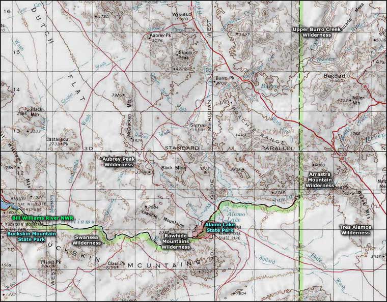
To get to Aubrey Peak Wilderness: From the west, take the Yucca/Alamo Road exit on the I-40 and follow the Alamo Road southeast for 44 miles. Round about there you'll come to an old wooden pole power line crossing the road. Follow the power line maintenance road west to the marked wilderness boundary. From that marked boundary there are jeep trails running northwest and southwest along the wilderness boundary. The Alamo Road can also be reached from the Wickieup area via the county-maintained Chicken Springs Road. 4.5 miles south of the Signal Road/Alamo Road junction is the wilderness boundary. If it's been raining recently, you'll probably want to stick to the Chicken Springs Road access.
USGS Maps: 7.5 minute: Signal, McCracken Peak, Centennial Wash

Aubrey Peak itself is surrounded by cliffs like these

Aubrey Peak Wilderness area

Aubrey Peak Wilderness area map
