La Garita Wilderness

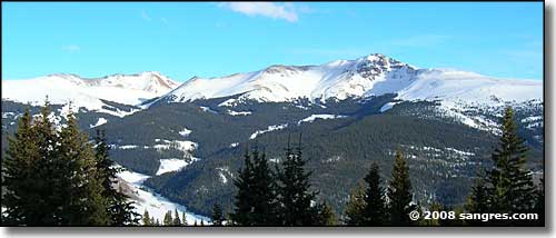
Baldy Cinco in the La Garita Wilderness
The La Garita Wilderness is a gorgeous and pristine 128,859-acre area located in the Gunnison and Rio Grande National Forests. La Garita is Spanish for "the overlook." It probably got that name because from the high points, you can look down the entire length of the San Luis Valley and even into the upper Rio Grande.
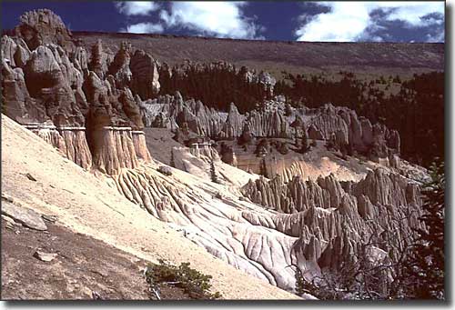
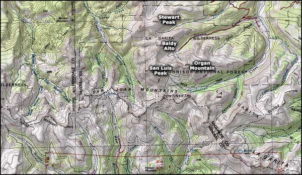
There are almost 175 miles of trails and paths established in the La Garita Wilderness. About 27 miles of the Colorado Trail and about 35 miles of the Continental Divide National Scenic Trail pass through here. The Skyline, Cebolla and Rough Creek Trails are also in this area. San Luis Peak (14,014'), Stewart Peak, Organ Mountain, Machin Lake, Mineral Creek, and the Wheeler Geologic Area are just a few of the many attractions in the La Garita Wilderness. This Wilderness receives less use than most wildernesses in Colorado because it's a bit more remote.
This is a countryside of long talus slopes, broad alpine meadows, tumbling fish-filled streams, beaver ponds, and towering forests of pine, spruce, fir, and aspen. There are large numbers of mule deer, black bear and elk in these woods. Moose and lynx have also been re-introduced in some areas (so hunters be aware!)

Wheeler Geologic Area

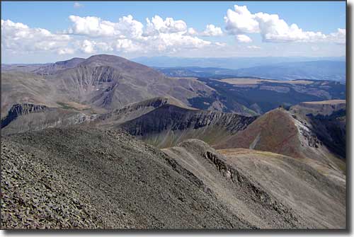
The view south from the summit of San Luis Peak in La Garita Wilderness

La Garita Wilderness area map
National Park Service Sites - BLM Sites - National Wilderness Areas - Unique Natural Features
Outdoor Sports & Recreation - Ski & Snowboard Areas - Photo Galleries - Colorado Mountains
