Mount Zirkel Wilderness

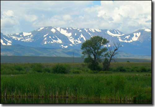
Mt. Zirkel from Walden
Mount Zirkel Wilderness was first designated in 1964 and now holds some 160,648 acres straddling the Continental Divide in the Sierra Madre, Park and Sawtooth Ranges. The North Platte, Encampment and Elk Rivers first begin their journeys to the sea here.
Mt. Zirkel (12,180') is the highest of 15 peaks over 12,000' in the Wilderness. Mount Zirkel was named in 1874 in honor of Ferdinand Zirkel, a major contributor to the science of geology.
This is an area of high valleys ending at the bases of precipitous glacial cirques. There are more than 70 lakes scattered around the wilderness area and most offer good trout fishing. The Wilderness is easily accessed by more than 150 miles of maintained trails. This is a popular Wilderness and several of the lakes and other areas along the Continental Divide can see a high level of use on summer weekends and long holidays.
In 1997 an event called the "Routt Divide Blowdown" occurred and an area of about 150 square miles with millions of trees was devastated. After the Blowdown came wildfires and an epidemic of bark beetles. This is a place where you can have Nature's dynamic cycle of destruction and rebirth right in your face... The countryside is recovering nicely but you can still see the massive devastation that happened naturally here.

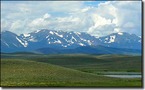
Mt. Zirkel from Arapaho National Wildlife Refuge

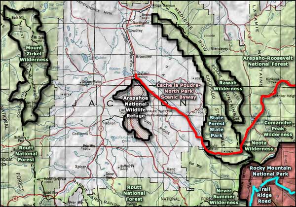
Mount Zirkel Wilderness area map

Mount Zirkel Wilderness area map
Selected Hiking Trails
Rocky Mountain National Park - Cache la Poudre-North Park Scenic Byway - Trail Ridge Road
Never Summer Wilderness - Neota Wilderness - Rawah Wilderness - Comanche Peak Wilderness
National Park Service Sites - BLM Sites - National Wilderness Areas - Unique Natural Features
Outdoor Sports & Recreation - Ski & Snowboard Areas - Photo Galleries - Colorado Mountains
