 |
Bruneau River Loop Back Country Byway |
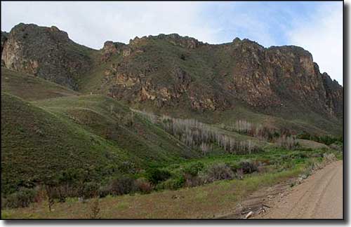 Along the Bruneau River Loop Back Country Byway |
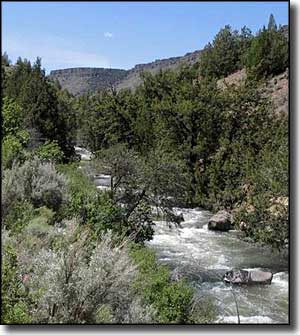
The Bruneau River Loop is a real back country byway: only that section along Nevada Highway 225 is paved. The rest of the road is gravel and dirt, even in the metropolis of Jarbridge. The area sees a lot of fishermen, hunters and dirt bike riders: the route is a favorite among adventure riders as there isn't much out there, including gas stations. The metropolis of Jarbridge was originally known as "Mahoney" and was the site of a ranger station when the Humboldt National Forest was first established in 1908. That same year gold was discovered nearby and within months, the town's population blew up to about 1500, mostly miners living in tents. The townsite and area immediately around it were officially excluded from the national forest in 1911, which allowed for private ownership of the land and establishment of a business district. The business district grew quickly but was leveled by fire in 1919. After that, the town never really recovered. The gold mines finally petered out in the 1930's and the population since has rarely exceeded 200. In the winter, access to Jarbridge is only from the north as the southern route is not plowed. The last "official" stagecoach robbery in the United States happened just outside Jarbridge in 1916. The Bruneau River Loop actually loops around the headwaters of the Bruneau River, crossing the river twice and following the stream between the ghost-burg of Charleston and Charleston Reservoir. The fishing and hunting in this countryside are excellent, but you'll want to come prepared for being in the middle of nowhere. Most folks enter the area to spend some time at Wild Horse Reservoir at Wild Horse Reservoir State Recreation Area. Some make the journey to visit the nearby Jarbridge Wilderness. Whatever you come for, this is wild and woolly countryside, hardly touched by the hand of man. And be prepared to find herds of wild mustangs in several areas along the road. Note: The Elko BLM office mentions this route as an "official" back country byway but there is no other info about the route available, either from the BLM or from Byways.org, the "official" National Scenic Byways website. |
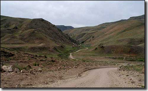 Another view along the Bruneau River Loop Back Country Byway 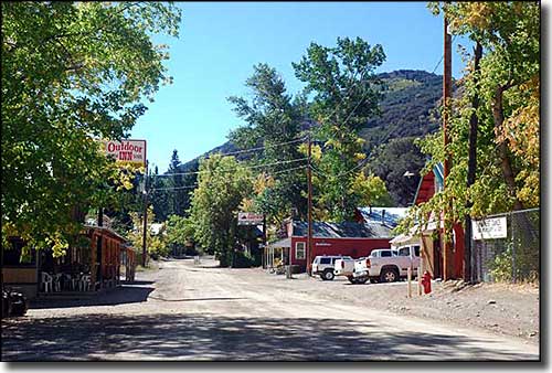 Downtown Jarbridge 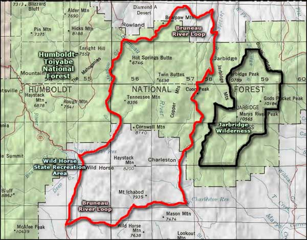 Bruneau River Loop Back Country Byway area map |
|
|

|
| Index - Arizona - Colorado - Idaho - Montana - Nevada - New Mexico - Utah - Wyoming National Forests - National Parks - Scenic Byways - Ski & Snowboard Areas - BLM Sites Wilderness Areas - National Wildlife Refuges - National Trails - Rural Life Advertise With Us - About This Site - Privacy Policy |
| Photo of Jarbridge courtesy of Mark Hufstetler, CCA ShareAlike 3.0 License. Map courtesy of National Geographic Topo! Text Copyright © by Sangres.com. All rights reserved. |