 |
Boundary Peak Wilderness |
|
|
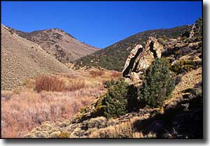
The 10,000 acres of Boundary Peak Wilderness surround Nevada's highest point: Boundary Peak (13,141'). Boundary Peak rises above the White Mountains along the California border. The White Mountains are a high and dry range that descends eastward through numerous colorful canyons into the Nevada desert. If you hike up some of these steep canyons you might come to an abrupt end at a spot where ancient waterfalls once carved into the rock. The mountains are primarily granite with an overlay of sedimentary rock. Exposed in some areas are fossils dating back about 600 million years. Most of Boundary Peak Wilderness is above treeline, and as such, can be a quite dangerous place with gale-force winds and frequent lightning storms. |
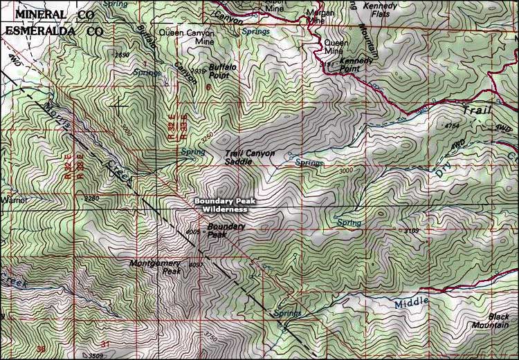 Boundary Peak Wilderness map |
|
|

|
| Index - Arizona - Colorado - Idaho - Montana - Nevada - New Mexico - Utah - Wyoming National Forests - National Parks - Scenic Byways - Ski & Snowboard Areas - BLM Sites Wilderness Areas - National Wildlife Refuges - National Trails - Rural Life Advertise With Us - About This Site - Privacy Policy |
| Map courtesy of National Geographic Topo! Text Copyright © by Sangres.com. All rights reserved. |