 |
|---|
Fishing at Wahatoya State Wildlife Area
|
|
|
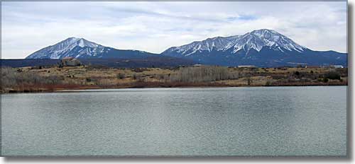 Wahatoya Lake with the Spanish Peaks in the background 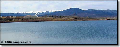 Looking west towards Goemmer Butte and the Sangre de Cristo's |
|
From La Veta go 1 mile east on Bear Creek Road (CR 358) to property
The lakes are across the road from each other. The southern one is Wahatoya Lake, the northern one is Daigre Reservoir, the La Veta water supply. |
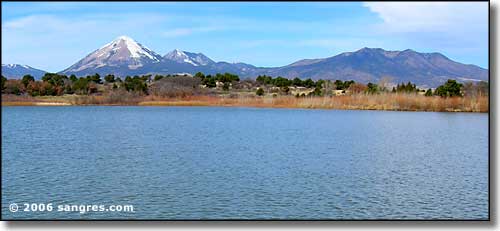 Daigre Reservoir with Mts. Mestas, Rough and Silver in the background 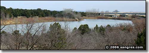 Daigre Reservoir from Wahatoya Lake 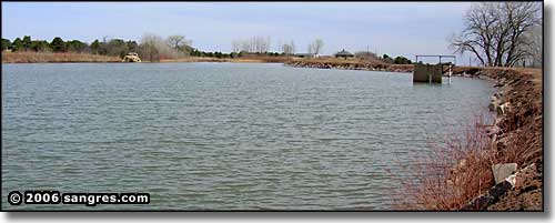 Looking north on Wahatoya Lake 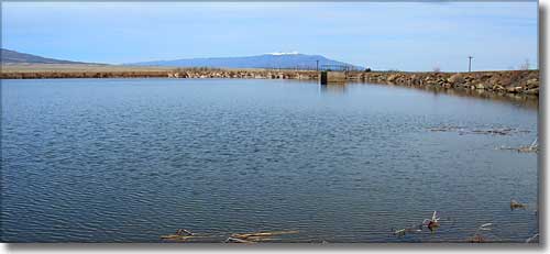 Looking northeast, Greenhorn Mountain in the distance |
|
|
Wahatoya State Wildlife Area Related Pages
Huerfano County - La Veta - Scenic Highway of Legends
Huerfano County Trust Lands - Colorado Trust Lands & Wildlife Areas State Trust Lands FAQ - Big Game Seasons (.pdf) - GMU Map (.pdf) The Colorado Fishing Story Colorado Pages
Towns & Places - Scenic Byways - State Parks - BLM Sites - History & Heritage Ski & Snowboard Areas - Photo Galleries - Colorado Mountains - Scenic Railroads Unique Natural Features - Wilderness Areas - Outdoor Sports & Recreation Colorado's National Forests - National Wildlife Refuges - Colorado's National Parks |

|
| Index - Arizona - Colorado - Idaho - Montana - Nevada - New Mexico - Utah - Wyoming National Forests - National Parks - Scenic Byways - Ski & Snowboard Areas - BLM Sites Wilderness Areas - National Wildlife Refuges - National Trails - Rural Life Advertise With Us - About This Site - Privacy Policy |
| Photos courtesy of Sangres.com, CCA ShareAlike 3.0 License. All text Copyright © by Sangres.com. All rights reserved. |