
Saguaro National Park

Saguaro National Park was designated primarily to preserve and protect 2 distinct areas of impressive saguaro forests. The 2 districts of Saguaro National Park are about 30 miles apart (1 hour driving time) with the City of Tucson in between.
The Tucson Mountain District is the smaller district, on the southwest side of the city. The Valley View Overlook Trail here leads to a place with incredible views of the Avra Valley and the mountain ranges to the west. There's also an area on Signal Hill where you can see hundreds of ancient Native American petroglyphs.
The Rincon Mountain District is on the eastern side of Tucson and runs well up into the Rincon Mountains. This is a much larger district and also contains a good chunk of the designated wilderness area. There are several trails here that lead to pioneer homesteads where you can learn more about what it was like to be living here "in the old days."
Of the 84,000 acres in the National Park, 70,905 acres are designated wilderness, most of this in the Rincon Mountain section. And although the Rincon Mountain Unit contains about 77 miles of maintained trails, you'll find most folks on the Douglas Spring Trail.
Between them, the 2 districts of Saguaro National Park offer more than 165 miles of developed hiking trails. You have choices that vary from short, accessible, interpretive Nature trails to days-long journeys in the wilderness. Overnight camping is allowed but you need a permit and if you're going to camp, it must be in one of six designated backcountry campsites.

Saguaro Forest


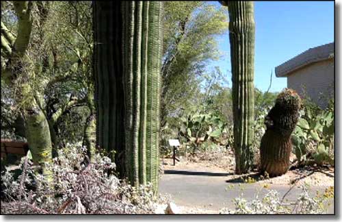
Visitor Center cactus garden

Kit Peak (with the famous astronomical observatories) in the far distance

Lime Falls

Saguaro National Park area map
