Coronado Trail Scenic Byway

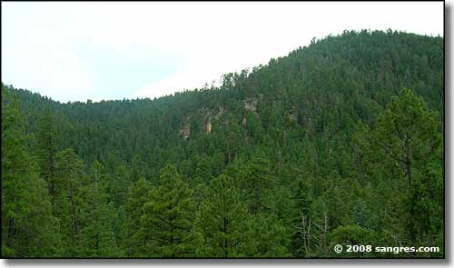
A view into the Apache-Sitgreaves National Forest along the Coronado Trail Scenic Byway
The Coronado Trail Scenic Byway of Arizona is a mostly north-south route that travels through Sonoran Desert landscape before rising high into the mountains and the lush green of the Apache-Sitgreaves National Forest. The first time I traveled this road I had a hard time thinking "this is Arizona?" after all the time I'd spent down below in the Tucson desert.
As closely as possible, this route follows the route taken by Francisco Vasquez de Coronado in 1540 as he and his men were making that famous journey into the Southwest in search of the Seven Cities of Cibola. Be prepared for some serious swithbacks in the road as it rises from the desert floor into the mountains. One story says an old cowboy remarked "There ain't even a good horse trail," when the road was first proposed back in 1916. Between Hannagan Meadow and Beaverhead, the Coronado Trail borders the western edge Blue Range Primitive Area: 174,000 acres of essential wilderness. One thing about this road: better pay more attention to the road than you do to the scenery, but there are plenty of places to stop, get out and look around.

A trail leading into the Blue Range Primitive Area from right beside the pavement
As you are driving you'll pass lots of trailheads and forest access roads leading to places like Bear Wallow Wilderness, Mt. Baldy Wilderness and Escudilla Wilderness. There are also quite a few campgrounds and a lot of lakes and good fishing streams hidden in these woods.
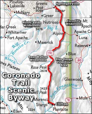
The route: US 191 between Clifton and Springerville, paved the whole way.

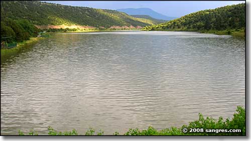
Nelson Reservoir, just south of Springerville, right beside the road

Coronado Trail Scenic Byway area map
