
Mt. Baldy Wilderness
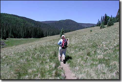
Hiking one of the Mt. Baldy trails
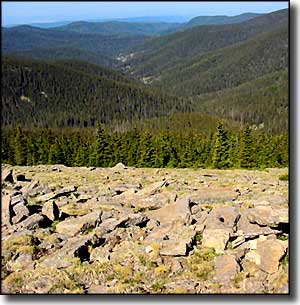
Captain George Wheeler, surveyor of much of the southwestern states in the 1870's, wrote that the view from the summit of Mt. Baldy was "the most magnificent and effective of any among the large number that have come under my observation." Because of this view, Mt. Baldy Wilderness is one of the most popular hiking areas in Arizona.
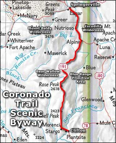
Mt. Baldy is an extinct volcano (last eruption: about 10 million years ago) rising to 11,403', making it the second highest mountain in Arizona. Most of the mountain rises inside the White Mountain Apache Reservation but the 7,079 acres of Mt. Baldy Wilderness are outside the reservation on the mountain's eastern slopes. Most of the mountain's forest is a mix of conifers and Ponderosa pines with spruces and firs higher up. Elk and deer are common here in the summer but when the snow starts falling, they head back down the hill to warmer places. You'll also find coyotes, bobcats, beavers, mountain lions and black bears in the neighborhood.
There are two trails that come close to the summit: the West Baldy Trail and the East Baldy Trail. The West Baldy Trail follows the West Fork of the Little Colorado River for 7 miles before heading up onto the mountain. The East Baldy Trail follows the East Fork of the Little Colorado River for 7 miles before it, too, heads up onto the mountain. For whatever reason, the East Baldy Trail sees much less foot traffic. However, the summit is on reservation land and is closed to non-tribal members. The two trails meet about 1/2 mile from the summit. A strong hiker can make a round trip of either trail in about 6 hours.
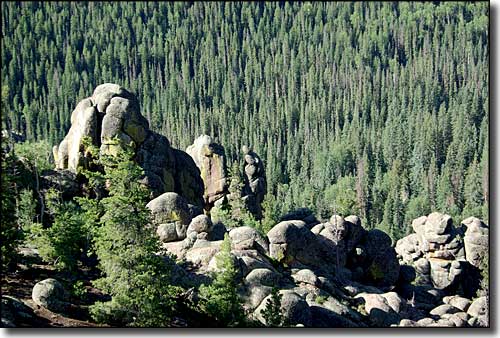
Looking down from near the summit of Mt. Baldy
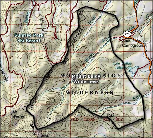
Mt. Baldy Wilderness
Mt. Baldy Wilderness area map
