Historic Route 66 Back Country Byway

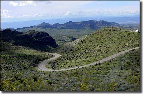
Rising into the Black Mountains
Historic Route 66 stretches out for about 152 miles as it connects Ash Fork with Seligman, Peach Springs, Kingman, Oatman and Topock. This is a drive into the heart of the Mohave Desert, and even as you climb the steep switchbacks in the Black Mountains (between Kingman and Oatman), you never really leave that desert behind.
Southwest of Kingman, the route heads for Oatman and those famous switchbacks. At the top of the switchbacks is Sitgreaves Pass (3,610') and a pullout/overlook with views of Arizona, California and Nevada. The Town of Oatman is 6 miles beyond the pass. In its heyday, back in the 1930's when gold mining was king, Oatman had a population around 10,000. Then all gold mining was stopped during World War II and it never got restarted again. Oatman's population now hovers around 100.
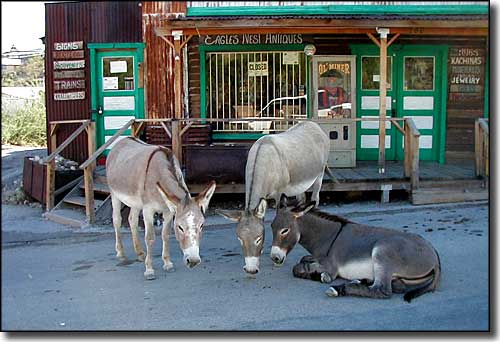
Oatman is most famous these days for all the pack burros that wander the streets, looking for handouts from anyone passing by. Oatman has also decided that time stopped back in the 1890's, when the town was filled with gunfights and "painted ladies." Wooden boardwalks, original storefronts, staged shootouts in the streets and 1890's clothing are the height of fashion in Oatman these days. It's that ambience that got movies like How the West Was Won and Edge of Eternity filmed here.
From Oatman, it's another drive across the desert to the bluffs above the Colorado River, then downstream a few miles to the ghost town of Topock, entrance to the Topock Marsh (part of Havasu National Wildlife Refuge) and the bridge to California.

Some of Oatman's resident burros

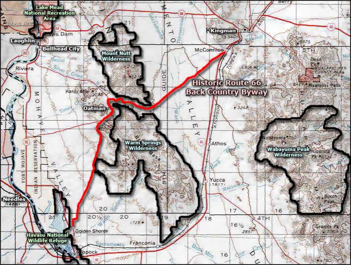
Historic Route 66 Back Country Byway area map
