Fossil Springs Wilderness

In Fossil Springs Wilderness
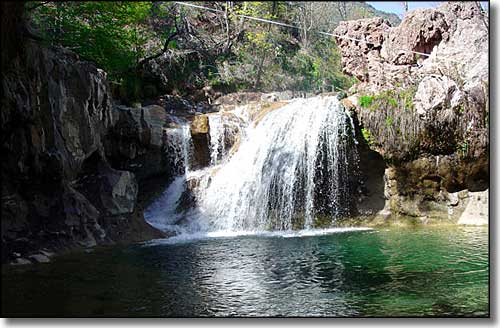
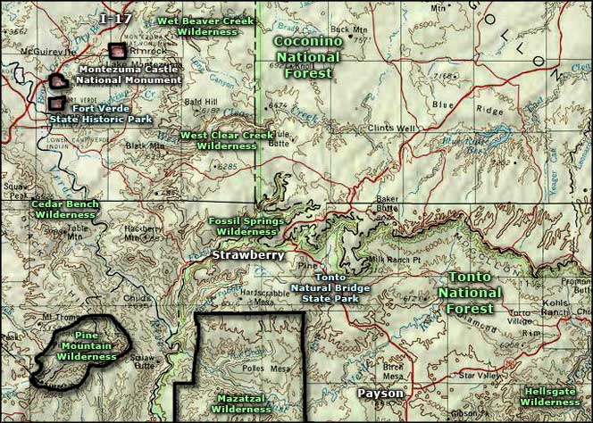
Fossil Springs Wilderness preserves and protects an incredible riparian area in the Coconino National Forest about 30 miles southeast of Camp Verde. More than 30 species of trees and shrubs have been found in this unique 22,149-acre habitat. There's also more than a hundred species of birds flying around here.
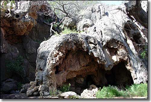
The stream itself emerges from a series of springs at the bottom of a 1,600' deep canyon at the edge of the Colorado Plateau, just below the Mogollon Rim. Flowing some 20,000 gallons per minute of calcium-laden water, the stream has deposited huge formations of travertine (a type of marble found only in streambeds) all along the valley, essentially encasing and fossilizing everything that has ever fallen into the water.
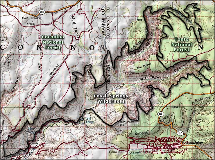
Fossil Springs Canyon extends about 12 miles to the northeast before splitting into Calf Pen and Sandrock Canyons. The further up you go, the more sheer-walled side canyons you'll come to.
The lushness of the stream area contrasts sharply with the arid desert it's embedded in. There are several trails through the area for hikers and horseback riders. The Flume Road Trail, the Fossil Springs Trail and the Mail Trail are the busiest routes into the Wilderness but very few people ever venture past the springs area. Fossil Springs Wilderness occupies most of the landscape below the canyon rims. Be careful: there are quite a few javelina (wild pigs) in the area and they can be nasty. You can also find deer, elk, gray fox, ring-tailed cat, coyote, skunk, mountain lion and black bear.
A lot of folks access the property by coming in from Camp Verde via FR 9 and FR 708: gravel roads that are sometimes steep and rough but which tend to always be muddy after it rains. Another route in is from Strawberry via FR 708 (also steep and rough).
GPS Location: 34.44889°N Latitude, -111.543056°W Longitude

A travertine formation along Fossil Creek

Fossil Springs Wilderness map

Fossil Springs Wilderness area map
