Cedar Bench Wilderness

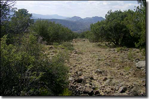
A typical trail route on Cedar Bench Wilderness
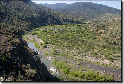
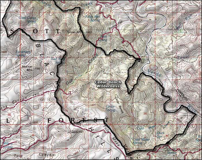
The 16,005-acre Cedar Bench Wilderness runs mostly along a "bench," a southeast-northwest trending ridge that divides the Agua Fria and Verde River drainages. The Verde River along the eastern boundary of the property is part of the Verde River Wild and Scenic River Area. The Verde through here is a whitewater rush that is run only by the best and most experienced river runners, and even then, only in the peak flow season from March 1 to May 15.
Elevations in Cedar Bench Wilderness range from about 4,500' near the Verde to about 6,700' at the top of Tule Mesa. The upper elevations have some pinon pine and Utah juniper but most of the area is covered in a thick chaparral of mesquite, manzanita, mountain mahogany and scrub oak.
Brown's Spring is near the northeast corner of the wilderness. There is a trail leaving there and heading west for about 4.4 miles, crossing the Wilderness and ascending onto the bench. Another trail leaves Brown's Spring and goes south for 6 miles through the middle of the Wilderness. The Forest Service says there are 7 more trails (giving a total of 32 miles of trails) in Cedar Bench Wilderness but it looks as though they are somewhat "un-maintained" these days.

The Verde River, on the eastern boundary of Cedar Bench Wilderness

The area of Cedar Bench Wilderness

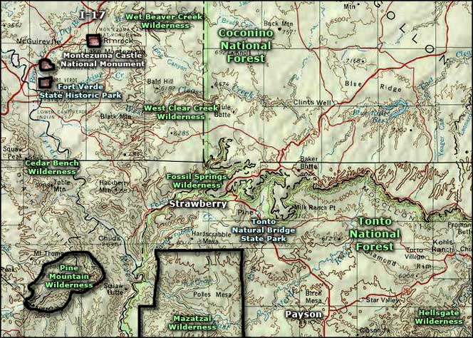
Cedar Bench Wilderness area map
