Kendrick Mountain Wilderness

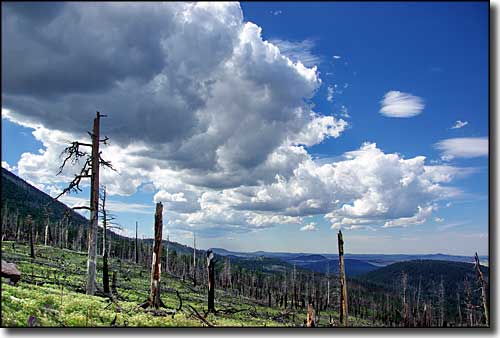
Kendrick Mountain Wilderness, Summer 2009

At 10,418', Kendrick Mountain is one of the highest mountains in Arizona. The mountain is another volcanic summit in the San Francisco Volcanic Field on the Coconino Plateau. In the early 1900's a fire lookout tower was built on the summit and that tower is still in use. In 2000, nearly the entire 6,500-acre Kendrick Mountain Wilderness was burned. Damage varied from light to very severe, the worst parts being on the east, north and west slopes of the peak. The unburned and lightly burned areas still support a healthy mixed conifer forest but the more intensely burned areas are starting to come back with aspens and high mountain grasses. However, volcanic soils tend to be unstable and the burned areas have seen a lot of erosion happen in the last few years: the trails and access roads have taken some severe hits.
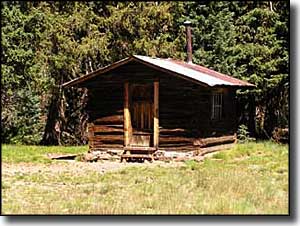
There are 3 maintained (sort of) trails in Kendrick Mountain Wilderness, all leading up through lots of switchbacks to the fire tower on the summit of Kendrick Mountain. With a total of 14 miles of uphill hiking, the Kendrick Mountain Trail, Pumpkin Trail and Bull Basin Trail all come together near the old cabin built by the Forest Service back in the 1920's (and now on the National Register of Historic Places). From the vicinity of the cabin there's a foot path (with a few more switchbacks) leading to the lookout tower and the summit of Kendrick Mountain. Because of huge elevation gains, a serious lack of water, continuous falling trees (left over from the wildfire), and on-going trail erosion making route finding difficult, all trails on the mountain are now considered "challenging." However, when the lookout tower is open in the summer, visitors are usually welcomed and allowed to visit the top of the tower to enjoy the views: you can see everything from the Sitgreaves and Bill Williams Mountains and Oak Creek and Sycamore Canyons to the south to the north rim of the Grand Canyon to the north.
To get here: go north of Flagstaff on Highway 180 to mile marker 230 and turn west on FR 245. Go 3 miles to FR 171 and turn right, go another 3 miles to the trailhead. This last 6 miles of dirt road are nasty for cars when wet or covered with snow. Even 4WD vehicles may have trouble in the snow.

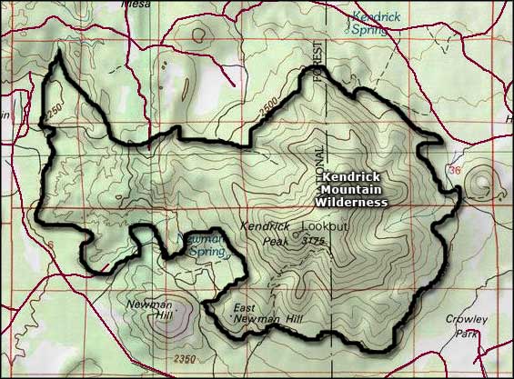
Kendrick Mountain Wilderness map

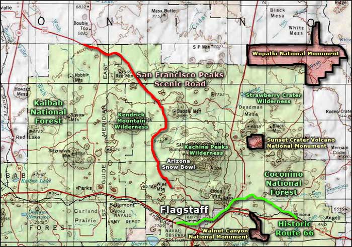
Kendrick Mountain Wilderness area map
