|
||||||||||||
The Great Dikes of the Spanish Peaks
|
||||||||||||
|
|
||||||||||||
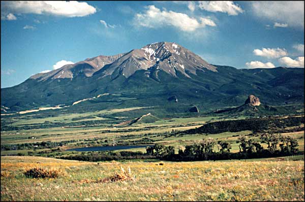
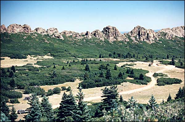
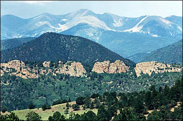
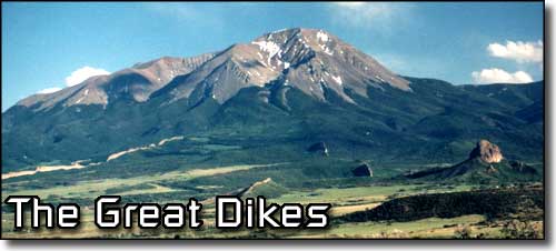 Dikes radiating from the West Spanish Peak with Goemmer Butte on the right |
||||||||||||
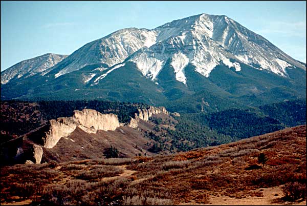
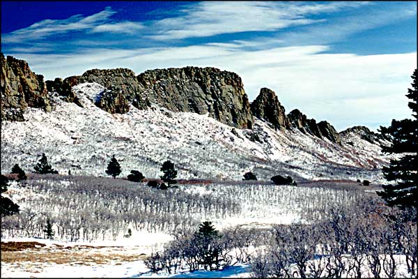
 The Great Dikes were formed during the same period of volcanic activity as the Spanish Peaks, Mt. Mestas and Silver Mountain. At the time these vertical granite formations were formed by molten rock, they were located several thousand feet underground, below and among many layers of sedimentary rock. Over time, as the ground rose and the softer rock was eroded away, these igneous intrusions were exposed. There are essentially three different sets of dikes in the area. One set emanates radially around the West Spanish Peak. The second set emanates radially around Silver Mountain. The third set crosses the landscape in a roughly N80E direction. The dikes in this third set are roughly parallel to one another and are the longest and oldest of the dikes. This third set of dikes was formed about the same time as the Sangre de Cristo Uplift, the event that pushed up the Sangre de Cristo Mountains between 2 north-south running fault lines about 27 million years ago. The Spanish Peaks, Silver Mountain, Mt. Mestas, the White Sisters, the Sheep Mountains, and the Black Hills in Huerfano County, along with their associated radial dike systems, were formed about 25 million years ago, east of the Alvarado Fault (which defines the east side of the Sangre de Cristo's) and east of the Dakota Wall. The volcanic plugs at Gardner, Huerfano Butte and Goemmer Butte were formed at the same time. |
||||||||||||
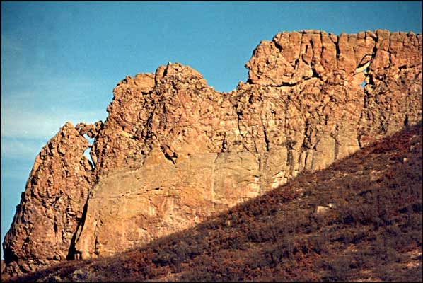
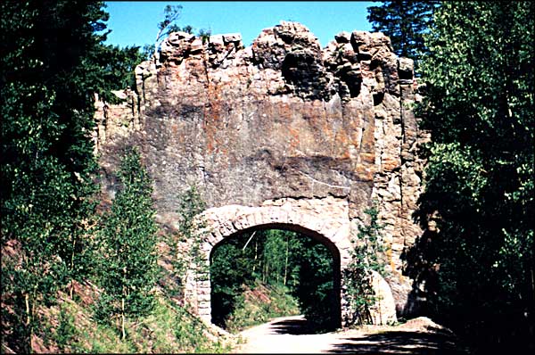
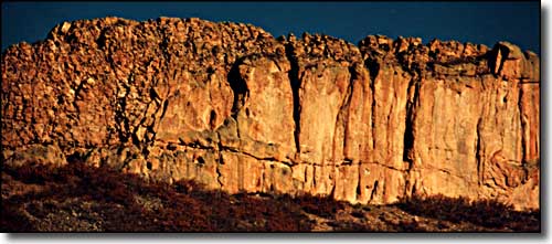 Close up of one of the dikes near Three Bridges 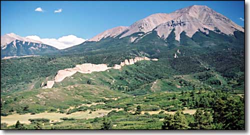 This dike runs northwesterly from the West Spanish Peak and is known as either the Stairway to Heaven or the Devil's Stairstep |
||||||||||||
|
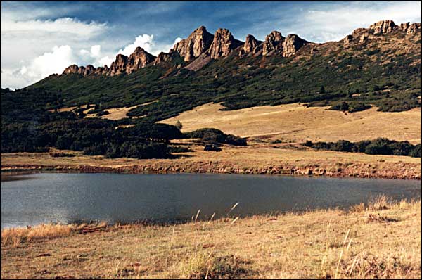
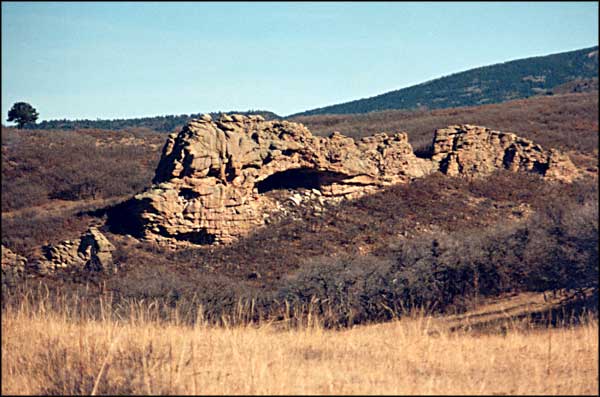
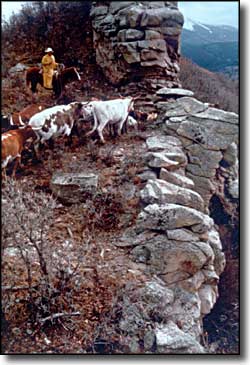
The dikes are granite. In the western portions of both Las Animas and Huerfano Counties there are some uplifted stone walls of the Dakota formation. They look like granite but are actually very compressed, very durable sandstone, part of a formation that runs from Canada to Mexico along the Front Range and eastwards. Other places where the Dakota Wall surfaces vertically are in the Flatirons area of Boulder, Garden of the Gods in Colorado Springs and the Garden of the Gods near Los Cerrillos, New Mexico. As igneous intrusions, the granitic dikes also have deposits of quartz along them in many places. In those areas where the concentration of quartz is heaviest is where a prospector is most likely to find precious metals, like gold and silver. That's how Silver Mountain got its name. And back in the mid-1870's, there were between 50 and 60 gold and silver mines around the Spanish Peaks, mostly along the dike walls. Whatever ore there was played out quickly but there is still one gold mine claim open on the north side of the West Spanish Peak at the Bull's Eye Mine. |
||||||||||||
| Selecting one of the photos below will open a new window or new tab in your browser and bring you a larger version of that photo. |
||||||||||||
| ||||||||||||
|
|
||||||||||||
Great Dikes Related Pages
Scenic Highway of Legends - Spanish Peaks - Mt. Mestas - Silver Mountain
Las Animas County - Huerfano County - Volcanic Plugs, Buttes and Cones - The Aguilar Hogback Colorado Pages
Towns & Places - Scenic Byways - State Parks - BLM Sites - History & Heritage
Ski & Snowboard Areas - Photo Galleries - Colorado Mountains - Scenic Railroads Unique Natural Features - Wilderness Areas - Outdoor Sports & Recreation Colorado's National Forests - National Wildlife Refuges - Colorado's National Parks |
||||||||||||
 |
||||||||||||
| Index - Arizona - Colorado - Idaho - Montana - Nevada - New Mexico - Utah - Wyoming National Forests - National Parks - Scenic Byways - Ski & Snowboard Areas - BLM Sites Wilderness Areas - National Wildlife Refuges - National Trails - Rural Life Sponsor Sangres.com - About Sangres.com - Privacy Policy - Accessibility |
||||||||||||
| Photos courtesy of Sangres.com, CCA ShareAlike 3.0 License. All text Copyright © by Sangres.com. All rights reserved. |