 |
Carey, Idaho |
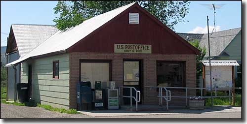 The Post Office in downtown Carey |
|
Carey is located in central Idaho at the intersection of US Highway 20 with US Highways 26 & 93. Just northeast of town is Carey Lake, and just east of Carey is Craters of the Moon National Monument. This is primarily an agricultural area, and the Blaine County Fairgrounds are here. Carey was founded in 1883 by a group of Mormon pioneers. The town was named after Thomas Carey Stanford, younger brother of Cyrus Joseph Stanford (who was the leader of those colonists). Carey was decimated by the Great Depression and still hasn't recovered to the population levels of the early 1900's, although it has been close since the late 1970's when Carey began to evolve into one of the still-affordable bedroom communities for commuters to the Hailey-Ketchum-Sun Valley area. |
| Fast Facts about Carey, Idaho |
|
Carey, Blaine County, ID 83320
Founded: 1883; Incorporated: 1919 Elevation: 4,783' Latitude: 43.3093°N Longitude: 113.9453°W Resident Racial Breakdown: White Non-Hispanic: 84.5% Hispanic: 15.5% Education: High School or Higher: 82.7% Bachelor's Degree or Higher: 15.9% Graduate or Professional Degree: 2.3%
2009 Estimates: Population: 538 Males: 284 Females: 254 Median Resident Age: 29.7 Years Estimated Median Household Income: $57,500 Estimated Median Home Value: $217,000 Population Density: 161 People per Square Mile 2011 Cost of Living Index for Carey: 86.7 Major Industries: Educational Services, Construction, Agriculture, Retail Services, Lodging & Food Services, Timber & Wood Products, Finance & Insurance Services, Professional Services Unemployed (March 2010): 11.0% |
|
|
 |
| Index - Arizona - Colorado - Idaho - Montana - Nevada - New Mexico - Utah - Wyoming National Forests - National Parks - Scenic Byways - Ski & Snowboard Areas - BLM Sites Wilderness Areas - National Wildlife Refuges - National Trails - Rural Life Advertise With Us - About This Site - Privacy Policy |
|
Text Copyright © by Sangres.com. All rights reserved. |