 |
Cottonwood Butte Ski Resort |

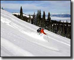
Cottonwood Butte Ski Resort is kind of a throwback to the old days: 1 rope tow, 1 T-bar, a few runs and some good powder in the trees. This isn't your big urbanized, commercial ski slope, just a quiet, friendly, down-home place to enjoy the winter outdoors on some uncrowded slopes. The slopes are on the northeast flanks of the mountain so they tend to hold the snow better. The views: well, the mountain is located in the heart of the Camas Prairie, made famous by the Nez Perce. There is a base lodge with ski and snowboard rentals, a repair shop, lunch counter, and ski lessons are available. They also offer night skiing on Fridays in January. To get there: About 0.2 miles south of Cottonwood on US Highway 95 turn west on Cottonwood Butte Road. About 4 miles in you'll come to the intersection with Radar Road and the "Escape to Cottonwood Butte" sign. Take that left fork (onto Radar Road) and go about 2 miles past the Correctional Center. The lodge will be on the left, parking on the right. |
| Quick Facts about Cottonwood Butte Ski Resort |
|
Nearest City: Cottonwood
GPS Coordinates: 46.0, -116.5 Google Satellite Map Season: Late November to early April (Weather permitting) Hours of operation: 10:00 AM to 4:00 PM, weekends Lifts: 2 * 1 T-bar * 1 rope tow Average Annual Snowfall: 45 inches Base Elevation: 4,720 ft
Top Elevation: 5,565 ft Vertical Rise: 845 ft Skiable Terrain: 260 Acres Number of Trails: 7 Trails Classifications: Beginner: 28% More Difficult: 29% Most Difficult: 43% Longest Run: 5/8 mile |
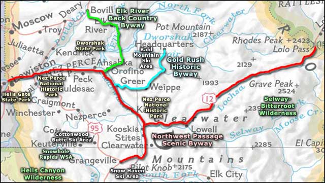
 Cottonwood Butte Ski Resort area map |
|
|
Cottonwood Butte Ski Resort Related Pages
Idaho Ski & Snowboard Areas - Snow Haven Ski Area - Bald Mountain Ski Area
Northwest Passage Scenic Byway - Gold Rush Historic Byway - Elk River Back Country Byway Hells Canyon Wilderness - Selway-Bitterroot Wilderness - Snowhole Rapids WSA Nez Perce National Historic Park - Hells Gate State Park - Dworshak State Park Idaho Pages |
 |
| Index - Arizona - Colorado - Idaho - Montana - Nevada - New Mexico - Utah - Wyoming National Forests - National Parks - Scenic Byways - Ski & Snowboard Areas - BLM Sites Wilderness Areas - National Wildlife Refuges - National Trails - Rural Life Advertise With Us - About This Site - Privacy Policy |
| Map courtesy of National Geographic Topo! Text Copyright © by Sangres.com. All rights reserved. |