 |
||||||||||||
|---|---|---|---|---|---|---|---|---|---|---|---|---|
Tabeguache PeakSawatch Mountains - Central Colorado |
||||||||||||
|
|
||||||||||||
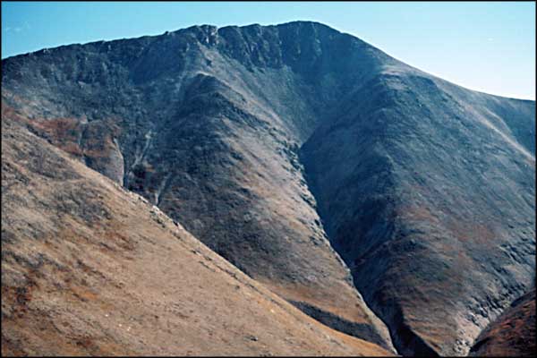
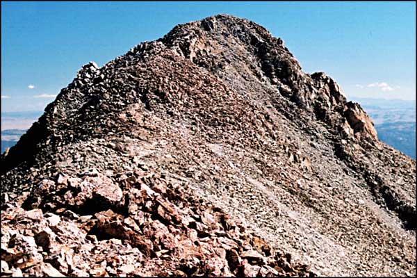
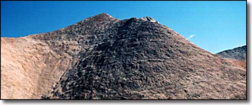 The False Summit, with the True Summit peeking from behind |
||||||||||||
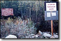
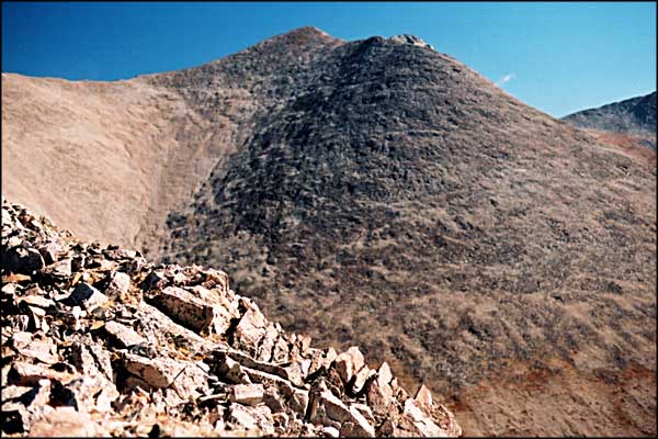
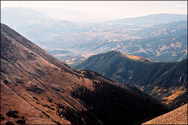
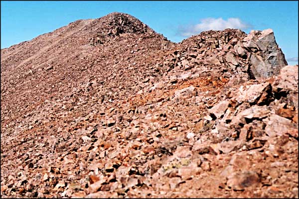
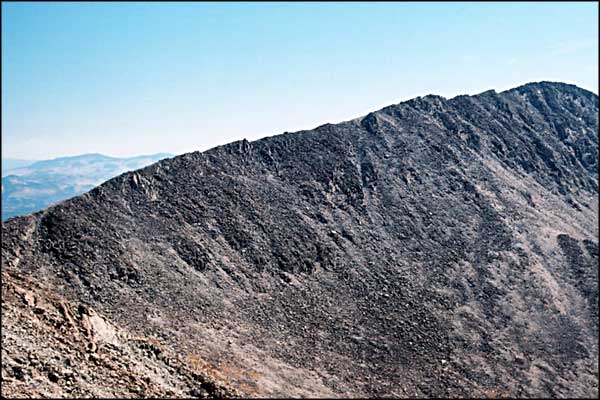
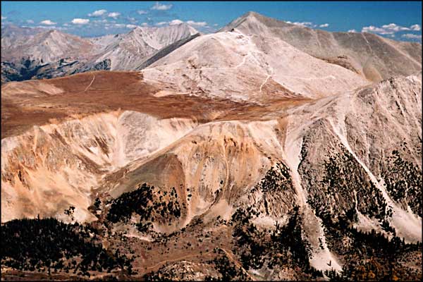
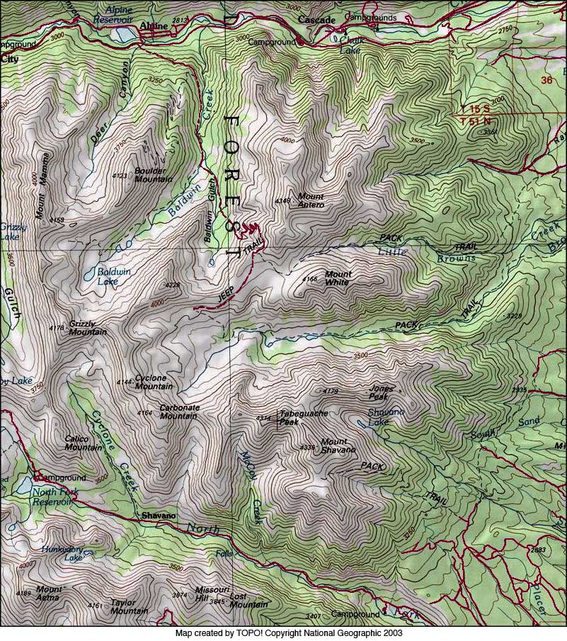
When you see these signs, you know you have reached the Jennings Creek Trailhead. (Update 2003: this trail is officially closed. Do not get caught using it.) The trail leads into the woods just to the right. It's pretty steep through the bush to the pond where the trail goes to the right along an old glacial moraine before starting almost directly up the hill. With all the pea gravel on granite, we were slipping and sliding our way up the hill to about 13,000', where the angle eased off a bit on a shoulder before leading us straight onto the spine of the ridge. The ridge leads on northwards towards Point 13,936. We skirted across the face of the point without climbing it, reaching a saddle at about 13,820'. From there we continued along the ridge to the east, skirting the false summit and staying south of the problems along the ridge until we finally came to the true summit of Tabeguache. From there we contemplated the future: go on to climb Shavano or not. See Mt. Shavano for the continuation. These days, the Jennings Creek Trail heads back into the woods until you reach the pond, then go around the west side of the pond and continue up the trail beside the creek as it slowly rises to meet the back of the canyon between Carbonate and Tabeguache. There is a trail rising up that back wall to the top of the ridge. Once on top of the ridge, you can go right (east) to Tabeguache and Shavano, or left (west) to Carbonate, Cyclone and Grizzly. Whatever you do once you get up on that top ridge, stay away from McCoy Gulch: you'll end up needing search-and-rescue and they won't like it at all. |
||||||||||||
| Clicking on any of these photos will open a new window or new tab in your browser and bring you a larger version of that photo. |
||||||||||||
| ||||||||||||
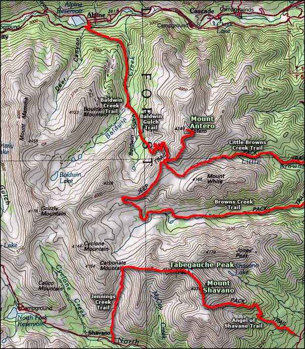 Tabeguache Peak area map |
||||||||||||
|
|
||||||||||||
Tabeguache Peak Related PagesSan Isabel National Forest PagesColorado Pages
Towns & Places - Scenic Byways - State Parks - BLM Sites - History & Heritage Ski & Snowboard Areas - Photo Galleries - Colorado Mountains - Scenic Railroads Unique Natural Features - Wilderness Areas - Outdoor Sports & Recreation Colorado's National Forests - National Wildlife Refuges - Colorado's National Parks |
||||||||||||

|
||||||||||||
| Index - Arizona - Colorado - Idaho - Montana - Nevada - New Mexico - Utah - Wyoming National Forests - National Parks - Scenic Byways - Ski & Snowboard Areas - BLM Sites Wilderness Areas - National Wildlife Refuges - National Trails - Rural Life Advertise With Us - About This Site - Privacy Policy |
||||||||||||
| Photos courtesy of Sangres.com, CCA ShareAlike 3.0 License. Map courtesy of National Geographic Topo! Text Copyright © by Sangres.com. All rights reserved. |


