Withington Wilderness

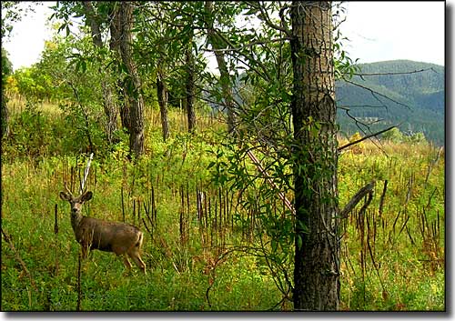
A young mule deer buck in the Withington Wilderness
The 19,000-acre Withington Wilderness is little known. This hidden area on the eastern slopes of the northern San Mateo Mountains sees very few people in a normal year. Elevations range from 6,800' to 10,100' at the summit of Withington Mountain.
These are steep mountains with deep, cliff-sided canyons. In the shade of the canyon bottoms you'll find stands of pine, spruce and fir, then just down the hill a bit where the canyons open out you'll come into pinon and juniper country. As you continue to the east and get into the lower areas you'll come into desert scrub with stands of cactus and ocotillo.
If you look you'll find mule deer, coyote, pronghorn, cottontail, fox, skunk, badger, squirrels and other small mammals. You'll probably also find lots of lizards and more than few rattlesnakes.
Winters in the Withington Wilderness are short but cold, and can bring lots of snow. Summers tend to be hot and dry, although the July-August monsoon season often brings rains that flash flood the lower canyons. This is an area where you'll want to bring your own water because there's nothing that can be counted on back in the hills. There's not a lot of trails, either, and those you do find will be in need of maintenance...
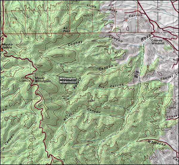
To get there: take Forest Service Road 549 south from US Highway 60 about 12 miles west of Magdalena. About 7 miles in is the intersection with FSR 52. FSR 52 goes east and winds around along the lower edge of Withngton Wilderness. Continue on FSR 549 another 5 miles to Monica Saddle and the intersection with FSR 138. FSR 138 travels east a bit and ascends the backbone ridge of the San Mateos, parallel to the upper west boundary of Withington Wilderness. There are three trailheads in that first five miles, all giving access to Withington Wilderness.
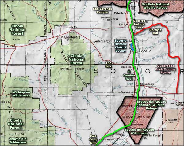
The Apache Kid Wilderness is a few miles to the south in the central San Mateo Mountains and that wilderness sees many more visitors in a normal year.

Withington Wilderness map

Withington Wilderness area map
