Fitzpatrick Wilderness

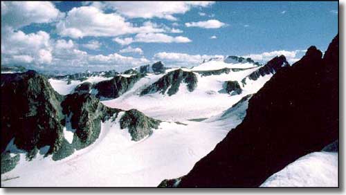
Originally designated as the Glacier Primitive Area, the Fitzpatrick Wilderness contains 198,525 acres spread along the eastern slope of the Continental Divide in the northern half of the Wind River Range. This is an area of many jagged mountain peaks and some 44 active glaciers (the biggest one spans 1,220 acres). Gannett Peak (at 13,804' it's Wyoming's highest point) is on the Continental Divide, right up against the western boundary where the Fitzpatrick Wilderness meets the Bridger Wilderness (the Fitzpatrick is named for Tom "Half-Hand" Fitzpatrick, compatriot and sometime partner of Jim Bridger, from back in the early days of the mountain men).
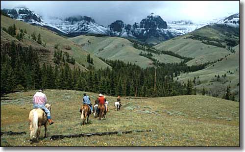
The eastern border of the Wilderness is against the Wind River Indian Reservation. A significant part of the Wilderness is extremely rugged bare granite and limestone, well above treeline. Stark as all that rock is, the rest of the Wilderness is mostly large stands of virgin timber surrounding large alpine meadows on top of rocky plateaus. There are 60-some high mountain lakes, drained by more than 75 miles of crystal clear streams dropping down steep, narrow canyons... the trout fishing is legendary... And the hunting: elk, moose, mule deer, bighorn sheep, black and grizzly bears, grey wolves, bobcats, mountain lions, coyotes... There are many miles of trails in this popular wilderness, and half the human traffic is during the fall big game hunting season.

Gannett Glacier in Fitzpatrick Wilderness

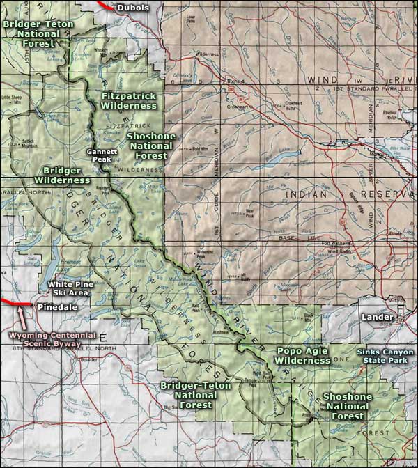
Fitzpatrick Wilderness area map
Bridger Wilderness - Popo Agie Wilderness - Sinks Canyon State Park
Wyoming Centennial Scenic Byway - White Pine Ski Area
