
Apache Trail Historic Road

The Superstition Mountains from just outside of Apache Junction

The Apache Trail Historic Road travels through some of Arizona's most rugged countryside. Originally, this route was used by the Apache Indians as they traveled through the mountains here. Then for a number of years this was a regular stagecoach route. Even today, the area from5 miles east of Tortilla Flat to Roosevelt is gravel and has essentially no safety barriers along the way. The gravel road is not recommended for use by large SUV's RV's or caravans. Some RV rental companies are very specific in not allowing their vehicles to travel this road.
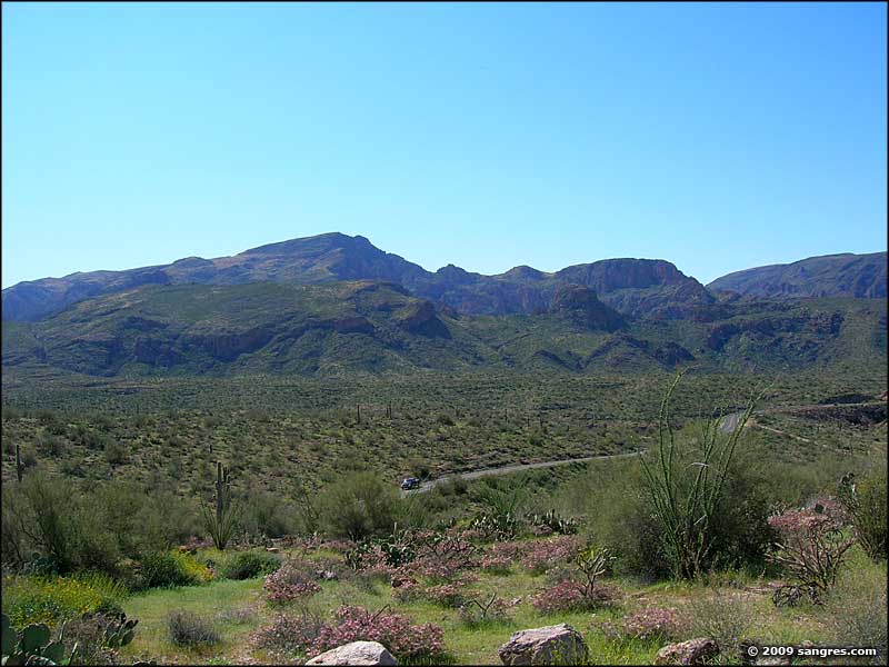
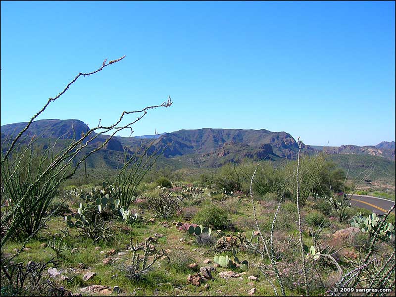
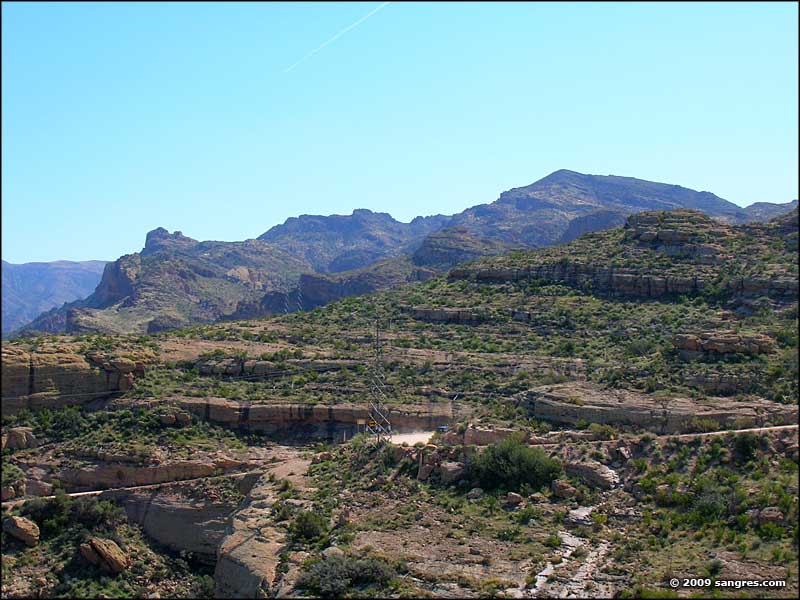
The Apache Trail is characterized by magnificent geological/rock formations and steep-sided canyons rising high into the sky. For several miles along the way you'll find the Four Peaks Wilderness rising directly to the north and the Superstition Mountains Wilderness directly to the south. At one point you'll be hugging the side of Fish Creek Canyon, high on a sheer wall dropping hundreds of feet below (and there's a 2-mile stretch of one lane gravel road here). Most of the Apache Trail Historic Road is through the Tonto National Forest and there are multiple recreation opportunities in the area.

Heading east from the western end of the Apache Trail, you'll be rising above the desert through a series of hairpin turns with some great views out over that Sonoran Desert landscape below. Then you'll follow the canyon cut by the Salt River between the Mazatzal Mountains and the Superstitions past the Goldfield ghost town, past Lost Dutchman State Park, then past Canyon Lake and Apache Lake until you come into the area around Theodore Roosevelt Lake. This upper portion of the Apache Trail offers some excellent camping and world-class fishing opportunities, never mind the scenic vistas... In season, the Superstitions put on one of the most beautiful wildflower displays on Earth.
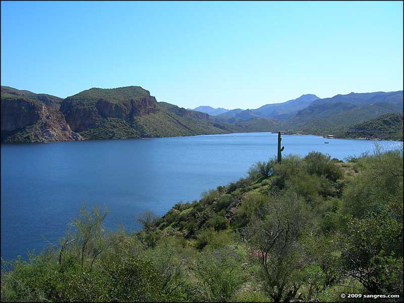
The three large lakes in this area along the Salt River were all created as part of a Bureau of Reclamation project to provide water to the Greater Phoenix area. All of the dam construction was completed in the 1920's. Today, Canyon and Apache Lakes border the southern edge of the Four Peaks Wilderness and the northern edge of the Superstition Mountains Wilderness.
The route: Apache Junction to Roosevelt via State Highway 88 (paved from Apache Juncton to 5 miles past Tortilla Flats, then dirt to Roosevelt).

Four Peaks (7,645') rising to the north

The view to the northwest

Tortilla Flats

The road leading down Fish Creek Hill
To return, use the Back button of your browser.
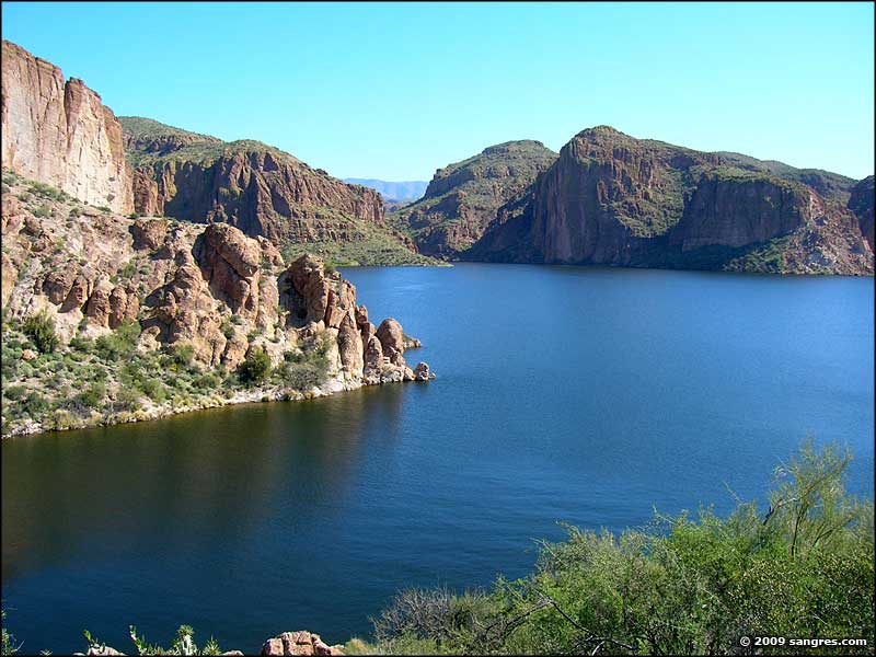 Canyon Lake |
 Canyon Lake |
 Superstition Mountains Wilderness |
 Superstition Mountains Wilderness |
 Four Peaks Wilderness |
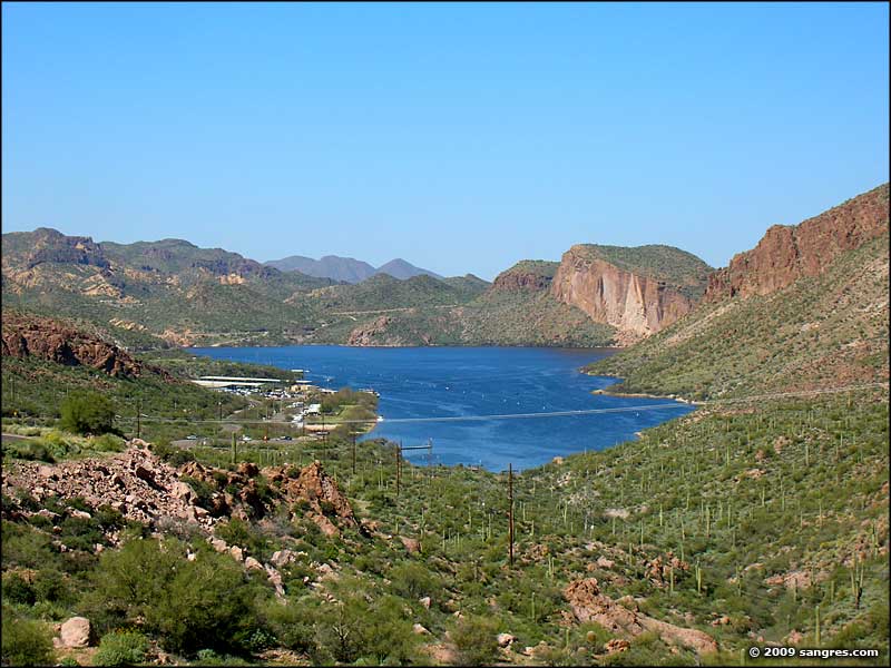 Canyon Lake |

Apache Trail Historic Road area map
