Castle Creek Wilderness

In Castle Creek Wilderness
From a high of about 7,000' on the granite tops of Juniper Ridge to a low of about 2,800' near the Agua Fria River in the southeastern corner, the 25,517 acres of Castle Creek Wilderness tend to be extremely rugged. If you make the trek along Juniper Ridge, you'll get some great overlooks of Agua Fria Canyon and Agua Fria National Monument to the east.
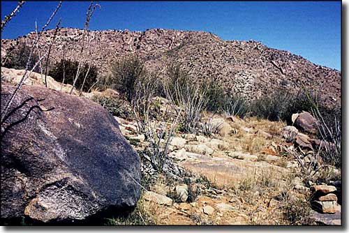
You'll find pinon, juniper, mountain mahogany, and manzanita up high, with saguaro, paloverde, jojoba, mesquite, and catclaw down below. You'll also be hard put to find a good water source, even though the place is full of mule deer, javelina, black bear, bobcat, mountain lion, elk, coyote, skunk, fox, and badger.
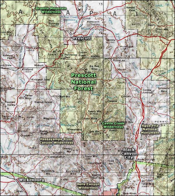
There are 9 sort-of-maintained trails in the wilderness, offering about 30 miles of challenging hiking. The 7.75-mile Twin Peaks Trail connects the Castle Creek Trail with the Horsethief Recreation Area. The Castle Creek Trail then connects with Trail #239, a major east-west pathway across the wilderness. Running between FR 52 and FR 259, the Algonquin Trail is a 5-mile north-south hike across the wilderness. But you can see from the topo map below that any trail in this wilderness is going to be steep and strenuous. Whatever you do here, make sure you've got plenty of water with you...
Castle Creek Wilderness is also not a place to go hiking in shorts: the area seems to have been over-grazed by cattle in the past and that promotes the growth of more woody-type plant cover: scrub oak and catclaw. Because of the lack of maintenance, nearly all of the trails are overgrown in spots and hard to follow. Sometimes you'll get lucky and spot a rock cairn. The upper areas in the pines are in much better shape than the lower sections. It's also usually much hotter down below tree line... but in the summer it's hard to tell the difference.

Castle Creek Wilderness map

Castle Creek Wilderness area map
