
Collegiate Peaks Scenic Byway
Salida to Buena Vista
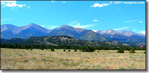
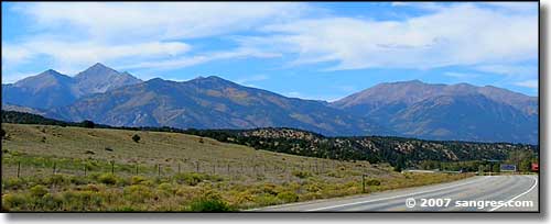
Left to right (south to north): Mt. Shavano, Jones Peak, White Mountain, Mt. Antero
Heading north out of Poncha Springs, the Collegiate Peaks Scenic Byway follows US Highway 285 up to Johnson Village, just south of Buena Vista. That's where US Highway 24 comes in from the east and then continues north to Buena Vista and beyond. From that point, the Scenic Byway follows US 24 up past Granite to where it meets up with the Top of the Rockies Scenic Byway.
This is a large, wide valley with great views of the Sawatch Mountains to the west. To the east is the western side of the Front Range: a landscape that solidified as rock about 1.7 billion years ago (the Sawatch are much younger) and has been heavily eroded since. Driving north along this road, you're going to pass at least 10 mountains that are more than 14,000 feet high, and nearly all of them are visible from the road. This is a scenic byway that I have a hard time driving on because I keep looking west and drooling... and when I look east: the Arkansas River with its' world class fishing and whitewater rafting. And then I have a problem: which do I want to do today?
This is a very busy road, especially in the summer and fall. Along the route you'll see signs indicating where deer and elk may be crossing: pay attention because they are for real.
One of the side roads heading west goes over between Mts. Princeton and Antero, passing the Mt. Princeton Hot Springs and the Chalk Cliffs before coming to a dead-end in St. Elmo, an old mining ghost town. Another road heads west out of Buena Vista, crossing Cottonwood Pass to Taylor Park Reservoir and then heading south towards Tincup, another old mining ghost town.
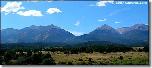
Brown's Creek Valley, between Shavano-Tabeguache and White Mountain
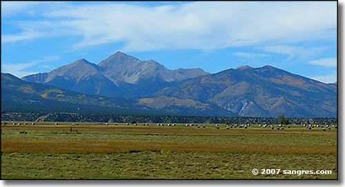
Mt. Antero
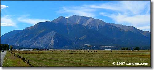
Mt. Princeton
Mt. Yale on the left, Mt. Columbia on the right
