
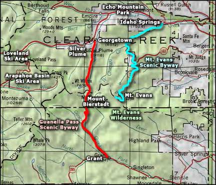
Guanella Pass Scenic Byway
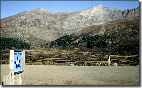
Mount Bierstadt from the summit of Guanella Pass
The Guanella Pass Scenic Byway crosses the steep divide between the Clear Creek and South Platte watersheds, passing through a series of distinct life zones. The lower elevations are thick with stands of spruce, fir, aspen and pine. Higher up the streams are coursing through broad meadows filled with wildflowers in summer. Guanella Pass itself is well above timberline in the fragile tundra. Two of Colorado's best preserved Victorian towns are along this road: Georgetown and Silver Plume.
The route across Guanella Pass was formerly a wagon trail used by miners and freighters traveling between Georgetown and Grant. Some gold was found in the area but the fortunes were built on silver. For a number of years, Georgetown was known as the "Silver Queen of the Rockies."
The Guanella Pass Road is also often used these days by mountain climbers looking for the quickest and easiest route up onto Mount Bierstadt (14,060').

Looking south from Georgetown, Guanella Pass is at the top of that valley
