Snowy Range Scenic Byway

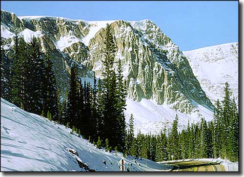
Along the Snowy Range Scenic Byway
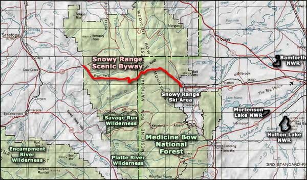
The Snowy Range Scenic Byway follows Wyoming Highway 130 from just west of Centennial to just west of Ryan Park. The 29 miles of scenic byway are wholly contained in Medicine Bow National Forest. In driving this route you'll cross over Snowy Range Pass (10,847') and pass just below Medicine Bow Peak (12,013'). You'll also pass close to the Snowy Range Ski and Recreation Area. Beyond the entrance to the Snowy Range Ski Area, the road is usually closed once the snow starts flying.
The Snowy Range Road took 6 years to build from when it was begun in 1920. In those early days it was called "the Great Skyroad." The route has become a popular recreation attraction and now has quite a few observation, picnic, camping and interpretive facilities scattered along the way. The Libby Flats Observation Point is high enough that you can get views into the mountain ranges and valleys of Colorado to the south. Libby Flats is in an alpine area just below treeline, and there's a lot of Krummholz vegetation in the area. Wildlfowers are heaviest from early June through July. Ryan Park is a completely revamped campground now but was a CCC Camp during the Great Depression and then a Prisoner of War camp during World War II.
There are hiking trails into the woods along the entire Snowy Range Scenic Byway, but there are several well-maintained trails in the vicinity of Medicine Bow Peak (for all those peak-baggers in the crowd). This area of the Medicine Bow National Forest is well-known for all the small alpine lakes, raging streams and excellent fisheries. Driving this 29 miles could take you several days...

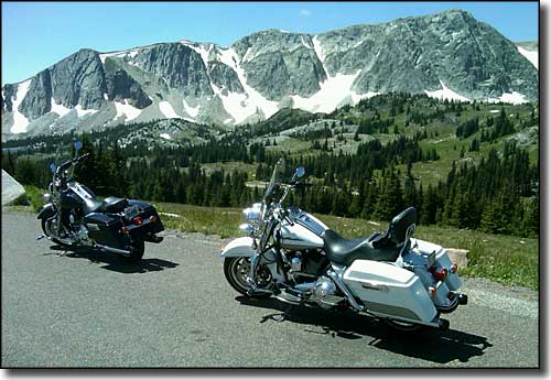
Medicine Bow Peak, along the Snowy Range Scenic Byway

Snowy Range Scenic Byway area map
Savage Run Wilderness - North Platte Wilderness - Encampment River Wilderness
Bamforth National Wildlife Refuge - Hutton Lake National Wildlife Refuge
Mortenson Lake National Wildlife Refuge
