Platte River Wilderness


About 743 acres of the Platte River Wilderness are in Colorado, while the other 22,749 acres are in Wyoming. Most of the Wilderness is north and east of the North Platte River, between the North Platte and Douglas Creek.
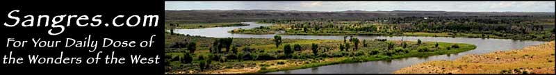
The river enters Routt National Forest about 4 miles south of the Wyoming-Colorado border and flows north through the Wilderness and into the narrow North Gate Canyon. North Gate Canyon is very popular among the whitewater rafting types.
Elevations average 7,700' across the Wilderness, located as it is on the western side of the backbone of the Medicine Bow Mountains.
A lot of elk and mule deer pass their winters here. Douglas Creek and the North Platte are famous for their excellent trout populations.
Most of the trails in this Wilderness follow the streams or the river, affording the fishermen some incredible opportunities to practice their craft.
Most humans who enter this area come here in the summer and fall. Too early in the summer and the high runoff from snowmelt makes the fishing kinda hard. It blocks some of the trails, too, because the streams are too high to be crossed.


Platte River Wilderness map

Platte River Wilderness area map
Savage Run Wilderness - Encampment River Wilderness - Bamforth National Wildlife Refuge
Hutton Lake National Wildlife Refuge - Mortenson Lake National Wildlife Refuge
