James Peak Wilderness

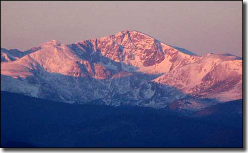
James Peak at dawn
The James Peak Wilderness was included into the National Wilderness Preservation System in 2001. James Peak (13,294') was named after Dr. Edwin James, an American physician and botanist who traveled to Colorado on the 1819-20 US Army Expedition led by Major Stephen H Long. Dr. James was the first botanist to properly describe many of the plants found in the Rocky Mountains.
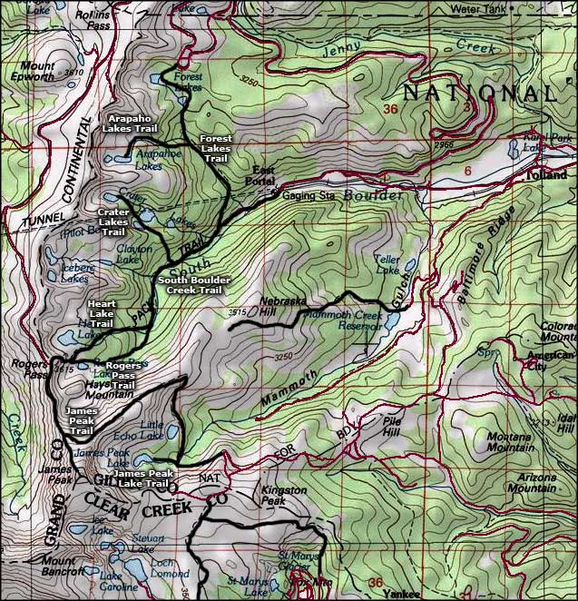
The 14,000-acre James Peak Wilderness is located within Arapaho-Roosevelt National Forest. On the eastern slopes of the Continental Divide, the James Peak Wilderness includes several peaks over 13,000' and more than a dozen small alpine lakes. There are about 20 miles of hiking trails in the wilderness. Parry Peak (13,391') is the highest peak in the wilderness.

James Peak Wilderness map

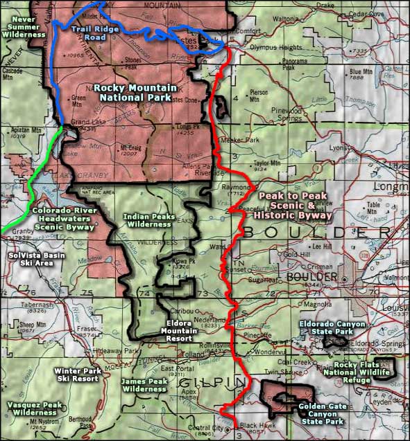
James Peak Wilderness area map
Arapaho-Roosevelt National Forest Pages
Arapaho-Roosevelt National Forest - Developed CampgroundsSelected Hiking Trails
Other James Peak Wilderness Related Pages
Indian Peaks Wilderness - Vasquez Peak Wilderness - Never Summer WildernessPeak to Peak Scenic Byway - Trail Ridge Road - Colorado River Headwaters Scenic Byway
Eldora Mountain Resort - Winter Park Ski Resort - SolVista Basin Ski Area
Rocky Mountain National Park - Rocky Flats National Wildlife Refuge
Golden Gate Canyon State Park - Eldorado Canyon State Park
More Colorado Information, Photos and Maps
Towns & Places - Scenic Byways - State Parks - National Forests - National Wildlife RefugesNational Park Service Sites - BLM Sites - National Wilderness Areas - Unique Natural Features
Outdoor Sports & Recreation - Ski & Snowboard Areas - Photo Galleries - Colorado Mountains
